15.7K
About Counties of New Hampshire:
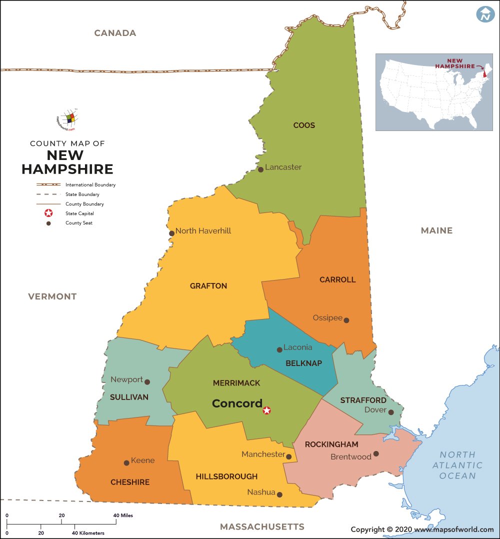
The ten counties of New Hampshire collectively form a strong platform for the governance at local level. Situated in various parts of New Hampshire, the counties are administered by separate county seats. The accurate geographical locations of all the ten counties are shown on the New Hampshire County Map. Some of the counties of New Hampshire with their respective areas and populations are listed below:
List of Counties in New Hampshire |
|---|
| County Name | Population (2016) | Area (sq. mi.) |
|---|---|---|
| Belknap County Map | 60,779 | 401.29 |
| Carroll County Map | 47,289 | 933.8 |
| Cheshire County Map | 75,774 | 707.4 |
| Coos County Map | 32,039 | 1800.39 |
| Grafton County Map | 88,888 | 1713.33 |
| Hillsborough County Map | 407,761 | 876.36 |
| Merrimack County Map | 148,582 | 934.43 |
| Rockingham County Map | 303,251 | 694.96 |
| Strafford County Map | 127,428 | 368.76 |
| Sullivan County Map | 43,004 | 537.38 |
 Wall Maps