
-
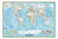
World Classic Wall Map
$16.95
-
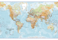
Physical World Wall Map
$33.84
-
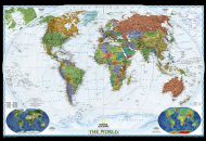
World Decorator Wall Map
$16.95
| Description : World War II map of Europe providing details about the most devastating war in the world. Know about the Allies, Axis and neutral countries of Europe during World War 2. | Disclaimer |