30.5K
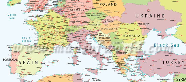
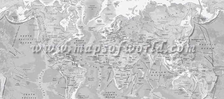
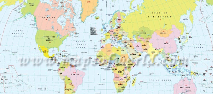
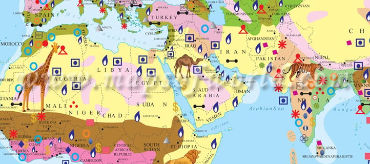
- Every world map can be completely customized to suit your needs.
- You can change text and colors, add information, logo, and any specific data you want.
- Here at MapXL, and flagship website, MapsofWorld.com, we have been making maps and customizing maps for over 18 years.
- Our products and services have been used in over 100 countries.
- We have produced map products in 20 different languages and for multiple markets, including Government, Education, Publishing, Telecom, Automotive, Real Estate, Finance, Health Care, and Sports & Entertainment, just to name a few.
- MapsofWorld.com, receives over 5 million visitors per month. This is our window to the world. Look below at some of our samples, and let us know what we can do for you!
previous post