


Various disputes on the international boundaries and conflicts related autonomy of regions in several parts of the world have resulted in some changes in World Maps 2008.
Whether it was an issue related to Tibet autonomy or rendering of Tarabarov/Yinlong Island and half of the Bolshoi Ussuriysky/Heixiazi Island to China by Russia, all have some way or the other impacted a change in the world political boundaries.
Varieties
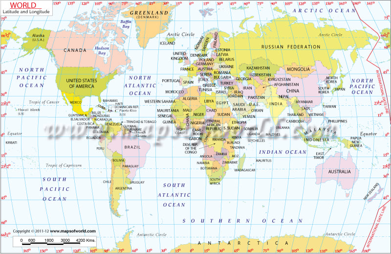
World Maps 2008 are available in six different maps and in six different projections. The map projections include Mercator projection, Aitoff Projection, Eckert V Projection, Robinson Projection, Miller Projection and finally, a page on world map as seen from space.
Mapsofworld.com is a repertoire of maps, information and several e-booking facilities. Maps available at this portal include country and city maps as well as thematic maps. Browse further through our pages to know more.
|
|