US Google Map
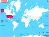
The map below shows the location of the United States in central North America. There are 50 states in the country. The map also depicts the location and boundaries of each of the US states. The country shares its borders with Canada in the north and Mexico in the south. The US is bounded by the Atlantic Ocean to the east and the Pacific Ocean to the west.
Click on the box in bottom left corner to see the map in satellite view. To see an enlarged map, click on the box in upper left corner. To zoom into the map, use the buttons in bottom right corner.


