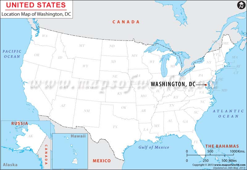
Washington, District of Columbia, is the capital of the United States of America and the federal government. The city is popularly known as "D.C." in the country. The national capital is not located within any of the US states as the US Constitution defines the region as a federal district.
Comprising a total area of 68.34 square miles, the District lies on the northern edge of the Potomac River between the states Virginia and Maryland. Located in the Mid-Atlantic region, it borders Montgomery County (northwest) and Prince George's County (east) of Maryland, along with Arlington County (south) and Alexandria city (west) of Virginia.
The District has 7,464 acres of parkland that includes the National Mall and Memorial Parks. The Smithsonian museums, national museums, presidential and war memorials, Capitol Hill, Washington Monument, White House, and Washington National Cathedral are some of the most visited attractions in the city.
How to Reach
- By Air- Three airports serve the capital: Ronald Reagan Washington National Airport (DCA), Washington Dulles International Airport (IAD), and Baltimore−Washington International Airport (BWI).
- By Train- Amtrak operates Capitol Limited, Cardinal, Crescent, and Silver Meteor through Washington, D.C., Union Station (WAS).
- By Road- I-66, I-95, DC 295, and Capital Beltway are major highways in the city.
Last Updated on: September 19th, 2017


