4.9K
- Illinois Counties - Illinoise County Map, Map of Illinois Counties
- Major Cities of Illinois - Rockford, Springfield, Peoria, Champaign, Chicago
- Neighbouring States - Wisconsin, Iowa, Michigan, Indiana, Missouri, Kentucky
- Regional Maps - Map of USA
- Other Illinois Maps - Illinois Map, Illinois Physical Map, Illinois Airports Map, Illinois Lat Long Map, Illinois Zip Code Map, Illinois Area Code Map
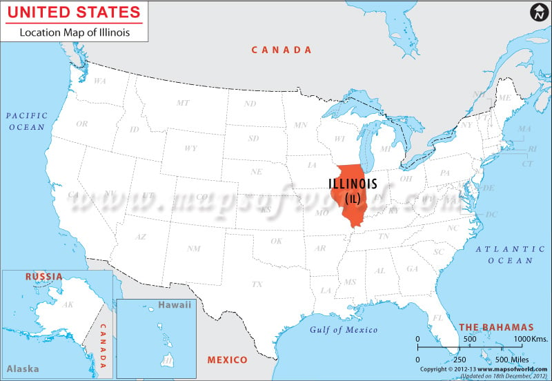
Illinois, located in the eastern north central region, shares its borders with Kentucky, Indiana & Lake Michigan from East, Wisconsin from North and Missouri & Iowa from West. View Illinois Map.
Facts About Illinois
| State Name | Illinois |
|---|---|
| Continent | North America |
| Country | United States (USA) |
| Capital | Springfield |
| Largest city | Chicago |
| Area | 57,914 sq mi (149,998 km2) |
| Population | 12,880,580 (2014 est) |
| Lat Long | 40° 0′ 0″ N, 89° 0′ 0″ W |
| Official Language | English |
| Calling Code | 00 1 217 X (Springfield), 00 1 312 X (Chicago) |
| Time Zone | Central: UTC -6/-5 |
| Airport | 12-Airports Commercial Service |
| Neighbour State | Indiana, Missouri, Iowa, Wisconsin, Kentucky |
| Internet TLD | |
| Currency | United State Dollar (USD) |
 Wall Maps