1.4K
Mountain Peaks in Union County
| Mountain Peak/Hill | Elevation [Meter] |
|---|---|
| Bald Knob | 314 |
| Buck Knob | 215 |
| Government Rock | 250 |
| Hamburg Hill | 178 |
| Iron Mountain | 211 |
| Jims Hill | 214 |
| McGee Hill | 240 |
| Milligan Hill | 189 |
| Pine Knob | 218 |
| Tiptop Knob | 269 |
More Maps of Union County
- Union County Map, South Dakota
- Union County Map, South Carolina
- Union County Map, Florida
- Union County Map, North Carolina
- Union County Map, Tennessee
- Union County Map, Georgia
Airports in Union County
| Amy Airport |
| Dongola Heliport |
| Houseman Airport |
| Joan Graves Edwards Heliport |
| Keil Airport |
| Lambdin’s Field |
| Ware-Wolf Lake Heliport |
Cities in Union County
| City | Population | Latitude | Longitude |
|---|---|---|---|
| Alto Pass village | 391 | 37.57368 | -89.319142 |
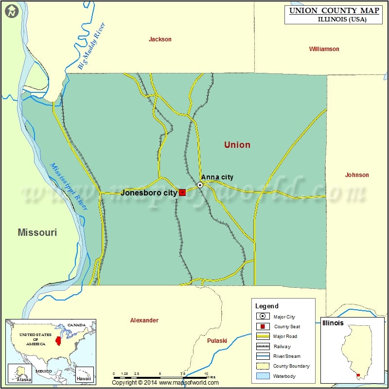
| Anna city | 4442 | 37.461139 | -89.239052 |
| Cobden village | 1157 | 37.533574 | -89.254558 |
| Dongola village | 726 | 37.359946 | -89.165442 |
| Jonesboro city | 1821 | 37.451 | -89.266596 |
| Mill Creek village | 65 | 37.34106 | -89.253487 |
Golf Courses in Union County
| Name of Golf Course | Latitude | Longitude |
|---|---|---|
| Union County Country Club-Anna | 37.452924 | -89.246676 |
 Wall Maps