1.1K
Airports in Douglas County
| Airport Name |
|---|
| Cooch Landing Area Airport |
| Kamm Airport |
| Mayhall Airport |
| Riggins Farms Airport |
| Tuscola Airport |
More Maps of Douglas County
- Douglas County Map, Wisconsin
- Douglas County Map, South Dakota
- Douglas County Map, Nebraska
- Douglas County Map, Washington
- Douglas County Map, Georgia
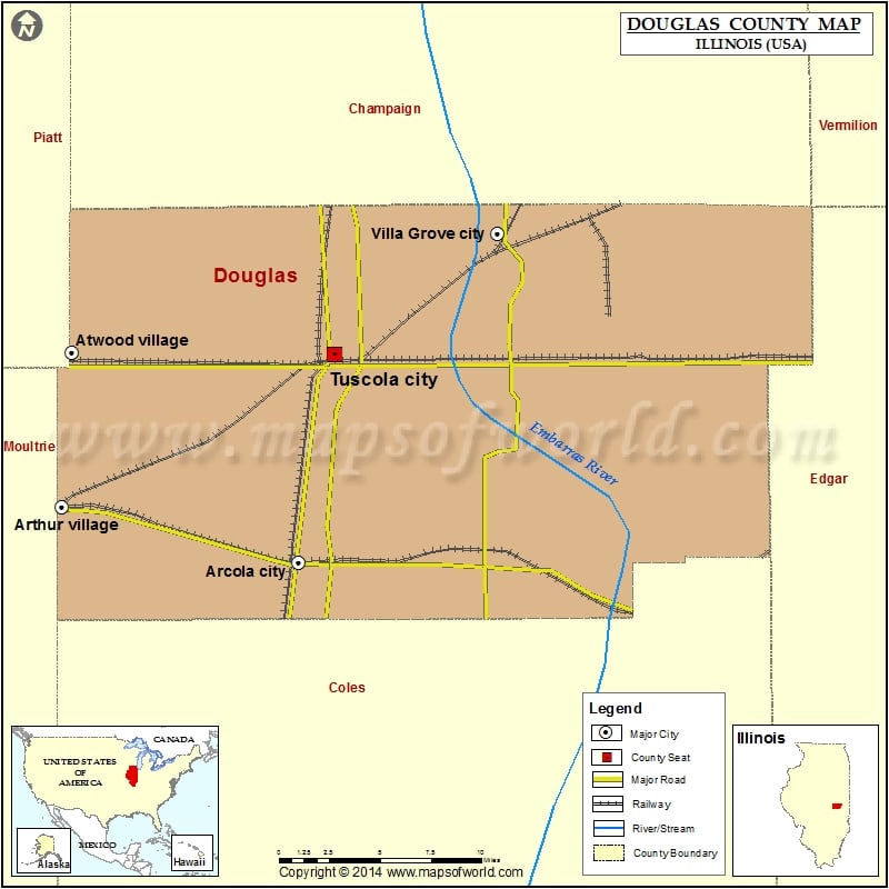
Cities in Douglas County
| City | Population | Latitude | Longitude |
|---|---|---|---|
| Arcola city | 2916 | 39.683397 | -88.301181 |
| Arthur village | 2288 | 39.714415 | -88.46939 |
| Atwood village | 1224 | 39.799231 | -88.462591 |
| Camargo village | 445 | 39.799039 | -88.167087 |
| Garrett village | 162 | 39.796906 | -88.424454 |
| Hindsboro village | 313 | 39.684987 | -88.134857 |
| Newman city | 865 | 39.797082 | -87.987637 |
| Tuscola city | 4480 | 39.797789 | -88.275955 |
| Villa Grove city | 2537 | 39.864476 | -88.159981 |
Golf Courses in Douglas County
| Name of Golf Course | Latitude | Longitude |
|---|---|---|
| Ironhorse Golf Course-Tuscola | 39.816175 | -88.275414 |
| Kaskaskia Country Club-Arcola | 39.695582 | -88.364354 |
| Tri City Country Club-Villa Grove | 39.861289 | -88.150738 |
 Wall Maps