1.1K
Mountain Peaks in Crawford County
| Mountain Peak/Hill | Elevation [Meter] |
|---|---|
| Bristol Hill | 164 |
| Indian Mound | 161 |
| Shawn Hill | 165 |
More Maps of Crawford County
Airports in Crawford County
| Airport Name |
|---|
| Crawford Memorial Hospital Heliport |
| Robinson Municipal Airport |
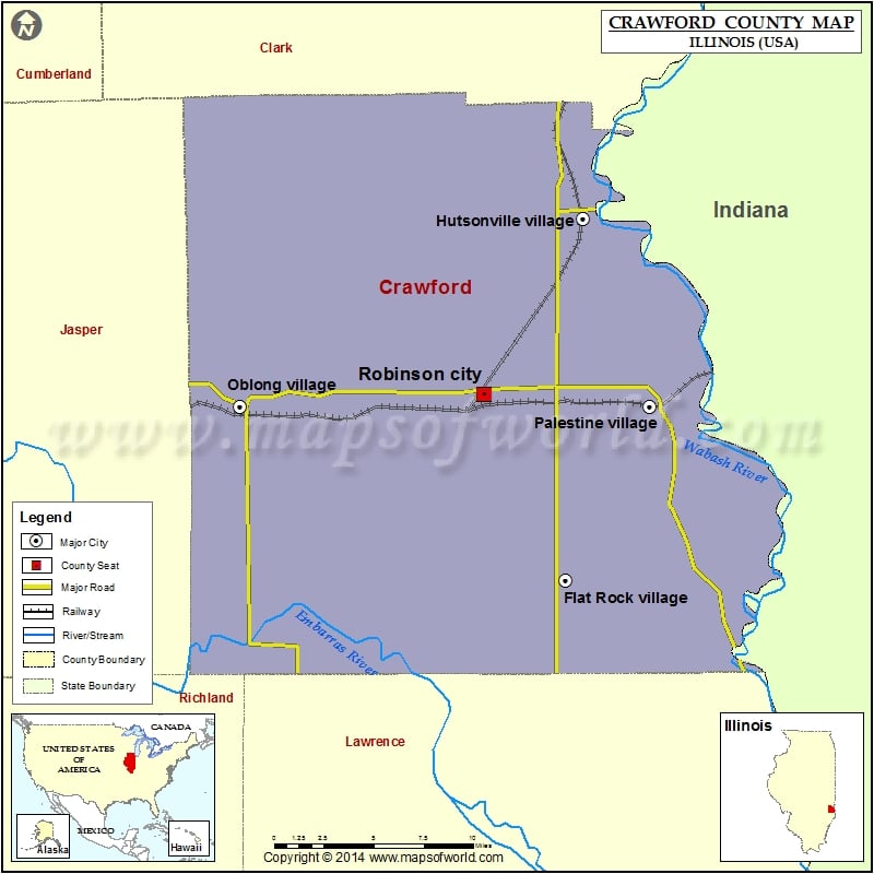
Cities in Crawford County
| City | Population | Latitude | Longitude |
|---|---|---|---|
| Annapolis | 55 | 39.145412 | -87.815669 |
| Flat Rock village | 331 | 38.903684 | -87.673375 |
| Hutsonville village | 554 | 39.108347 | -87.660807 |
| Oblong village | 1466 | 39.002002 | -87.908991 |
| Palestine village | 1369 | 39.001639 | -87.612639 |
| Robinson city | 7713 | 39.008867 | -87.733028 |
| Stoy village | 104 | 38.996677 | -87.83328 |
| West York | 129 | 39.168841 | -87.67304 |
Golf Courses in Crawford County
| Name of Golf Course | Latitude | Longitude |
|---|---|---|
| Deer Run/Mary Heath Mem. Golf Course-Robinson | 39.005805 | -87.739604 |
| Oak Glen Golf Course Inc-Robinson | 39.015046 | -87.834104 |
| Quail Creek Country Club-Robinson | 39.01792 | -87.731499 |
 Wall Maps