854
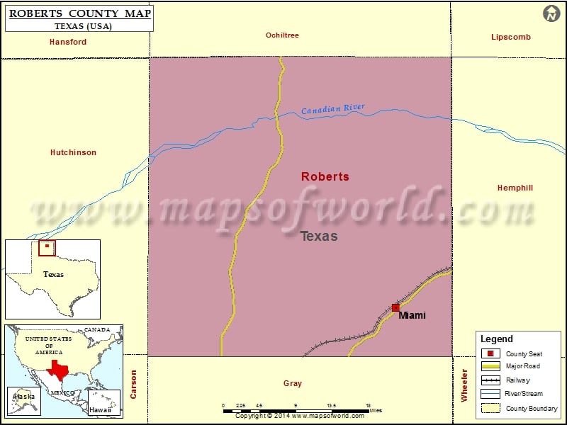
Check this Texas County Map to locate all the state’s counties in Texas Map.
Mountain Peaks in Roberts County
| Mountain Peak/Hill | Elevation [Meter] |
|---|---|
| Tandy Mesa | 867 |
More Maps of Roberts County
Airports in Robert County
| Airport Name |
|---|
| Mesa Vista Ranch Airport |
| Miami Roberts County Airport |
| Willis N Clark Airport |
Cities in Roberts County
| City | Population | Latitude | Longitude |
|---|---|---|---|
| Miami city | 597 | 35.692311 | -100.641566 |
 Wall Maps