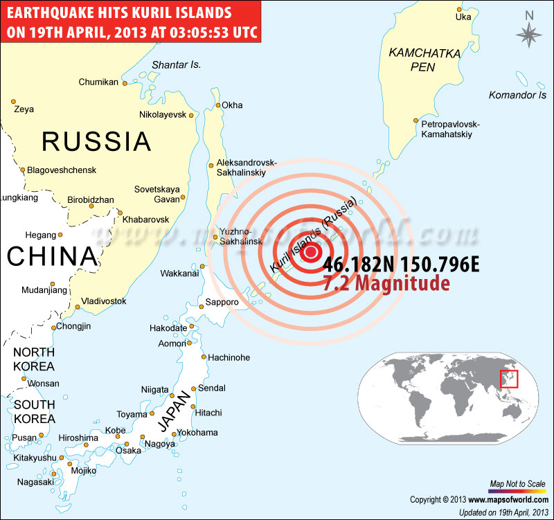
Earthquake hits Kuril Islands on 19th April, 2013 |
 |
Map showing the epicenter of earthquake M7.2 at Kuril Islands (Russia) On 19-04-2013, 03:05:53 UTC. |
Earthquakes in Kuril Islands
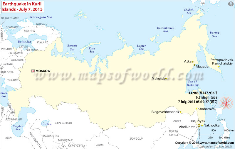
M6.3 Earthquake hits Kuril Islands- July 7, 2015

| Description :Map showing the epicenter of M6.3 Earthquake in Kuril Islands on July 7, 2015 [05:10:27 (UTC)] |
| Disclaimer |
*We specifically create maps that have a magnitude of 6 or more on the Richter Scale.
M6.3 Earthquake- 99km ENE of Shikotan, Russia (Kuril Islands)- July 7, 2015
Time
05:10:27 (UTC)
Nearby Cities
99km (62mi) ENE of Shikotan, Russia
204km (127mi) ENE of Nemuro, Japan
228km (142mi) E of Shibetsu, Japan
294km (183mi) E of Abashiri, Japan
1159km (720mi) NE of Tokyo, Japan
Co-ordinates: 43.986°N 147.936°E Depth: 38.1 km (23.7 mi)
