2.2K
Check this Washington County Map to locate all the state’s counties in Washington Map.
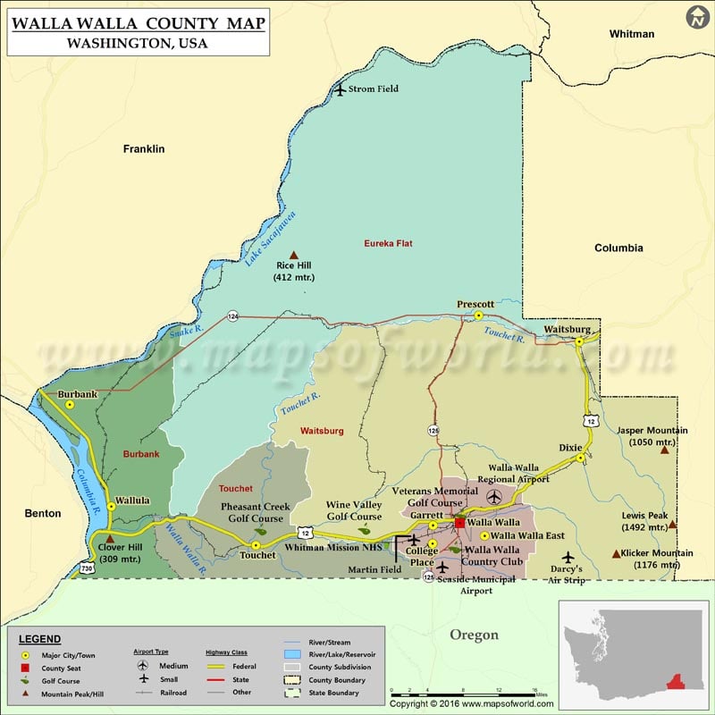
Facts about Walla Walla county in Washington |
|
|---|---|
| County Name | Walla Walla county |
| Population | 59,844 |
| Founded | 25 April 1854 |
| Area | 1,299 sq mi (3,364 sq km) |
| Land Area | 1,270 sq mi (3,289 sq km) |
| Water Area | 29 sq mi (75 sq km), 2.2% |
| Largest City | Walla Walla |
| Cities | Walla Walla, College Place, Waitsburg, Prescott |
| County Seat | Walla Walla |
| Timezone | Pacific: UTC-8/-7 |
 Wall Maps