833
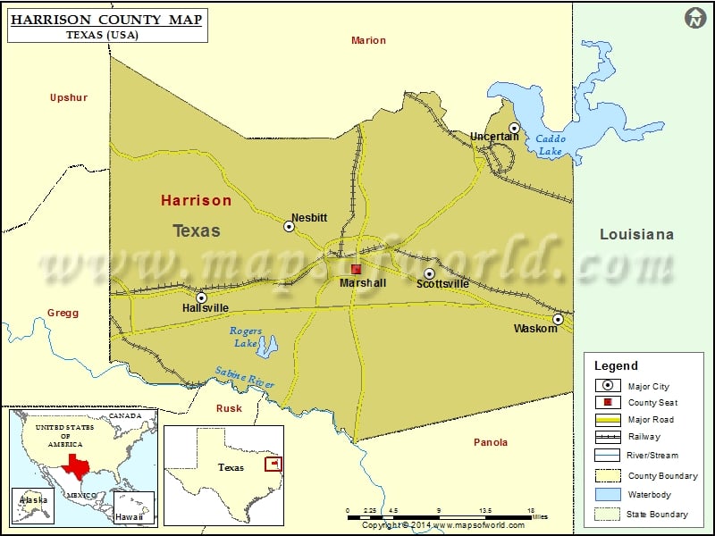
Check this Texas County Map to locate all the state’s counties in Texas Map.
Airports in Harrison County
| Airport Name |
|---|
| Aresti Aerodrome |
| East Side Airport |
| Fly-N-Fish Lodge Airport |
| Harrison County Airport |
| Verhalen Airport |
Cities in Harrison County
| City | Population | Latitude | Longitude |
|---|---|---|---|
| Hallsville city | 3577 | 32.502581 | -94.569875 |
| Marshall city | 23523 | 32.536996 | -94.351512 |
| Nesbitt town | 281 | 32.588597 | -94.446867 |
| Scottsville city | 376 | 32.531626 | -94.246505 |
| Uncertain city | 94 | 32.706367 | -94.127081 |
| Waskom city | 2160 | 32.476635 | -94.064563 |
Golf Courses in Harrison County
| Name of Golf Course | Latitude | Longitude |
|---|---|---|
| Alpine Golf Club-Longview | 32.532183 | -94.695352 |
| Marshall Lakeside Country Club-Marshall | 32.565258 | -94.291965 |
| Oak Lawn Country Club-Marshall | 32.538997 | -94.318667 |
| The Challenge At Cypress Hills-Marshall | 32.55598 | -94.357579 |
 Wall Maps