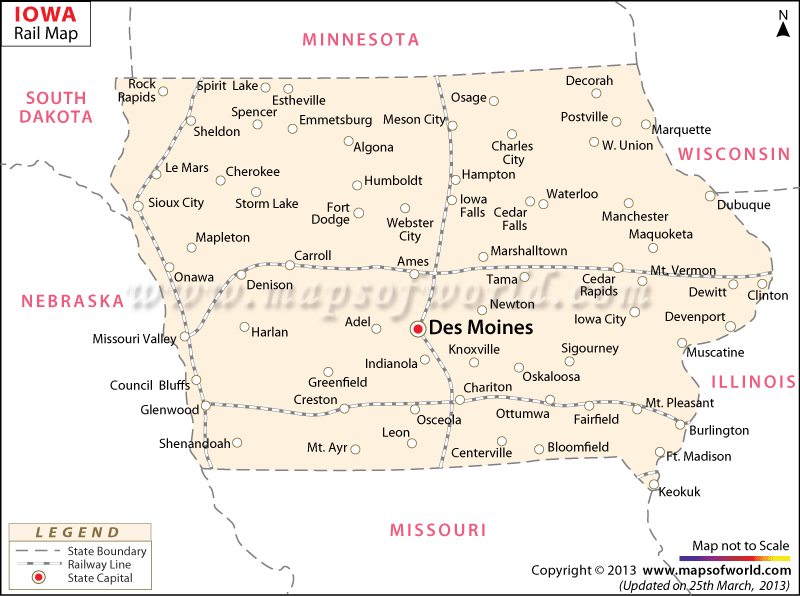
The Iowa Railway Map highlights the several rail routes of the state. The extensive rail network of Iowa helps the state’s accessibility from all parts of the United States of America.
In 2000, Iowa had a total length of 4,389 miles of railway lines, 2,431 miles of railway tracks were classified as Class 1.
Decorah Railroad, Des Moines Valley Railroad, McGregor Western Railway, Iowa Central Railroad, Cedar Valley and Minnesota Railroad, Dubuque and Sioux City Railroad, Burlington and Missouri River Railroad, and Cedar Rapids and Missouri Railroad are some of the notable railroad service providers of Iowa that operate in different parts of the state.
The railroad service provider Amtrak runs through six important railway stations of Iowa.
Amtrak joins Chicago, Illinois and Oakland, California by the California Zephyr train, and Chicago, Illinois with Los Angeles, California by the Southwest Chief train. The Iowa Map points out the important towns that are easily reachable by the railway tracks of the state. The railway station of Iowa City is one of the most prominent and busiest railway stations in Iowa.
 Wall Maps