3.5K
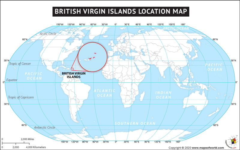
The country of the British Virgin Islands is on the North American continent and the latitude and longitude of the country are 18.4285° N, 64.6243° W.
The neighboring countries of the British Virgin Islands are:
Maritime boundaries
- Puerto Rico
- United States Virgin Islands
Facts About British Virgin Islands |
| Island Name | The British Virgin Islands |
|---|---|
| Continent | North America |
| Capital and largest city | Road Town |
| Area | 153 km2 (59 sq mi) |
| The population of the British Virgin Islands | 30,668 (2022 estimate) |
| Lat Long of British Virgin Islands | 18.4285° N, 64.6243° W |
| Official Language | English |
| Calling Code | +1-284 |
| Time Zone | AST (UTC-4) |
| Airport | 2-Airports Scheduled Service |
| Neighbour | Puerto Rico, United States Virgin Islands |
| Internet TLD | .vg |
| Currency | United States dollar (USD) |

 British Virgin Islands Territory Day