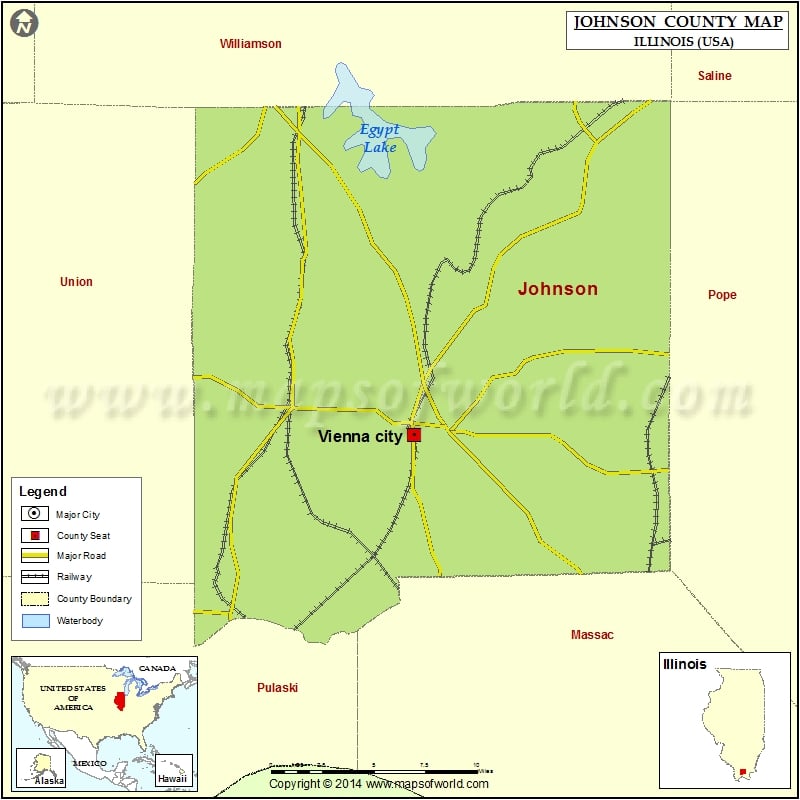
972
Mountain Peaks in Johnson County
| Mountain Peak/Hill | Elevation [Meter] |
|---|---|
| Blue Knob | 154 |
| Hairy Hill | 145 |
| Island Hill | 137 |
| Taylor Bluff | 167 |
More Maps of Johnson County
- Johnson County Map, Nebraska
- Johnson County Map, Texas
- Johnson County Map, Tennessee
- Johnson County Map, Georgia
Airports in Johnson County
| Airport Name |
|---|
| Kellums Airport |
| Vienna Correctional Center Heliport |
Cities in Johnson County
| City | Population | Latitude | Longitude |
|---|---|---|---|
| Belknap village | 104 | 37.322426 | -88.940459 |
| Buncombe village | 203 | 37.471566 | -88.974616 |
| Cypress village | 234 | 37.365472 | -89.018711 |
| Goreville village | 1049 | 37.553922 | -88.975542 |
| New Burnside village | 211 | 37.578656 | -88.77268 |
| Simpson village | 60 | 37.467269 | -88.755712 |
| Vienna city | 1434 | 37.414347 | -88.88696 |
Golf Courses in Johnson County
| Name of Golf Course | Latitude | Longitude |
|---|---|---|
| The Gambit Golf Club-Vienna | 37.411766 | -88.8531 |
 Wall Maps