1.1K
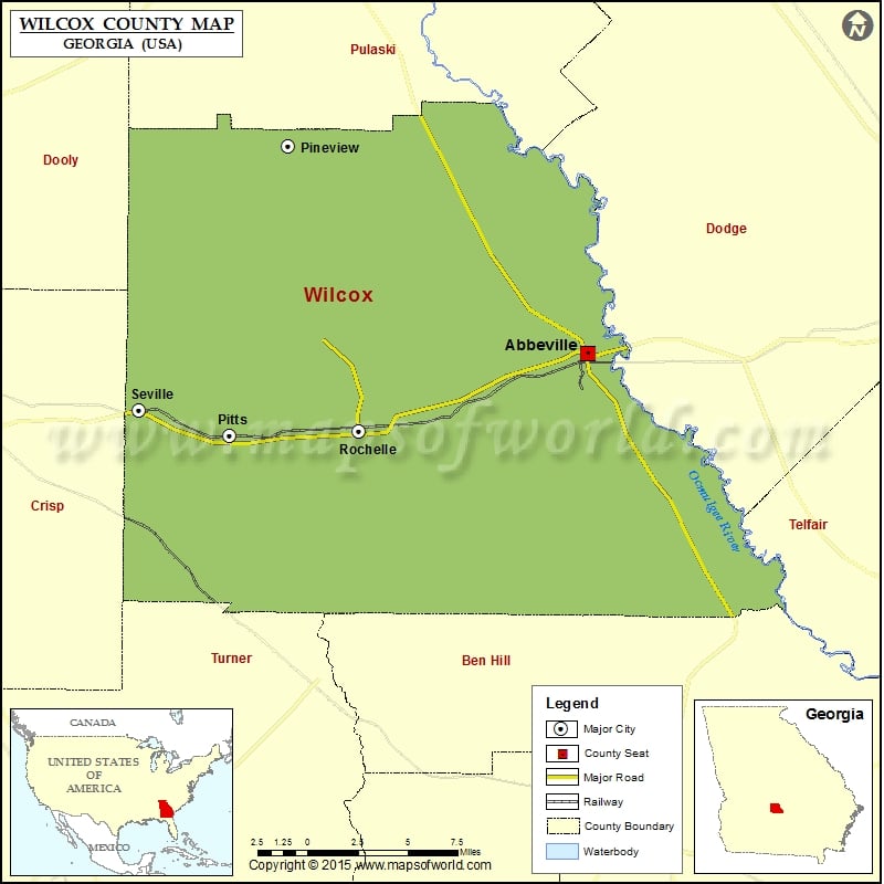
Check this Georgia County Map to locate all the state’s counties in Georgia Map.
Mountain Peaks in Wilcox County
| Mountain Peak/Hill | Elevation [Meter] |
|---|---|
| High Rock | 106 |
More Maps of Wilcox County
Airports in Wilcox County
| Airport Name |
|---|
| S&S Flying Service Airport |
Cities in Wilcox County
| City | Population | Latitude | Longitude |
|---|---|---|---|
| Abbeville city | 2908 | 31.992516 | -83.306781 |
| Pineview town | 523 | 32.108485 | -83.503008 |
| Pitts city | 320 | 31.946184 | -83.541757 |
| Rochelle city | 1174 | 31.948766 | -83.456882 |
| Seville | 202 | 31.960751 | -83.601206 |
Golf Courses in Wilcox County
| Name of Golf Course | Latitude | Longitude |
|---|---|---|
| Mallard Point Golf Club-Rochelle | 31.913947 | -83.402227 |
 Wall Maps