884
Check this Georgia County Map to locate all the state’s counties in Georgia Map.
Mountain Peaks in Warren County
| Mountain Peak/Hill | Elevation [Meter] |
|---|---|
| Stony Hill | 167 |
More Maps of Warren County
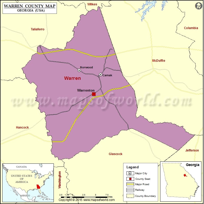
Cities in Warren County
| City | Population | Latitude | Longitude |
|---|---|---|---|
| Camak town | 138 | 33.452633 | -82.646269 |
| Norwood city | 239 | 33.46248 | -82.705485 |
| Warrenton city | 1937 | 33.406727 | -82.665268 |
Golf Courses in Warren County
| Name of Golf Course | Latitude | Longitude |
|---|---|---|
| The Boulders-Warrenton | 33.399962 | -82.654753 |
 Wall Maps