1.7K
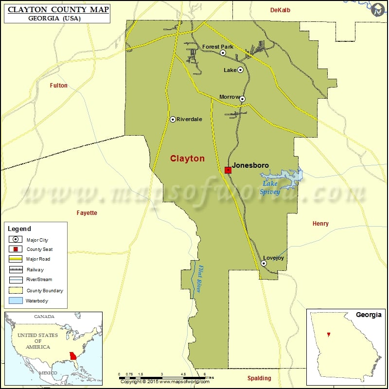
Check this Georgia County Map to locate all the state’s counties in Georgia Map.
Airports in Clayton County
| Airport Name |
|---|
| Fort Gillem Heliport |
| Halls Flying Ranch Airport |
| Hartsfield Jackson Atlanta International Airport |
| Public Safety Heliport |
| Southern Regional Medical Center Heliport |
Cities in Clayton County
| City | Population | Latitude | Longitude |
|---|---|---|---|
| Bonanza | 3135 | 33.458441 | -84.336929 |
| Conley | 6228 | 33.639766 | -84.337624 |
| Forest Park city | 18468 | 33.620941 | -84.359208 |
| Irondale | 7446 | 33.477249 | -84.360037 |
| Jonesboro city | 4724 | 33.521041 | -84.354339 |
| Lake City city | 2612 | 33.606465 | -84.341102 |
| Lovejoy city | 6422 | 33.442172 | -84.317869 |
| Morrow city | 6445 | 33.581554 | -84.339204 |
| Riverdale city | 15134 | 33.564495 | -84.409824 |
Golf Courses in Clayton County
| Name of Golf Course | Latitude | Longitude |
|---|---|---|
| Fayetteville Golf Club-Fayetteville | 33.424724 | -84.392638 |
| Lake Spivey Golf Club-Jonesboro | 33.529848 | -84.295012 |
 Wall Maps