1.5K
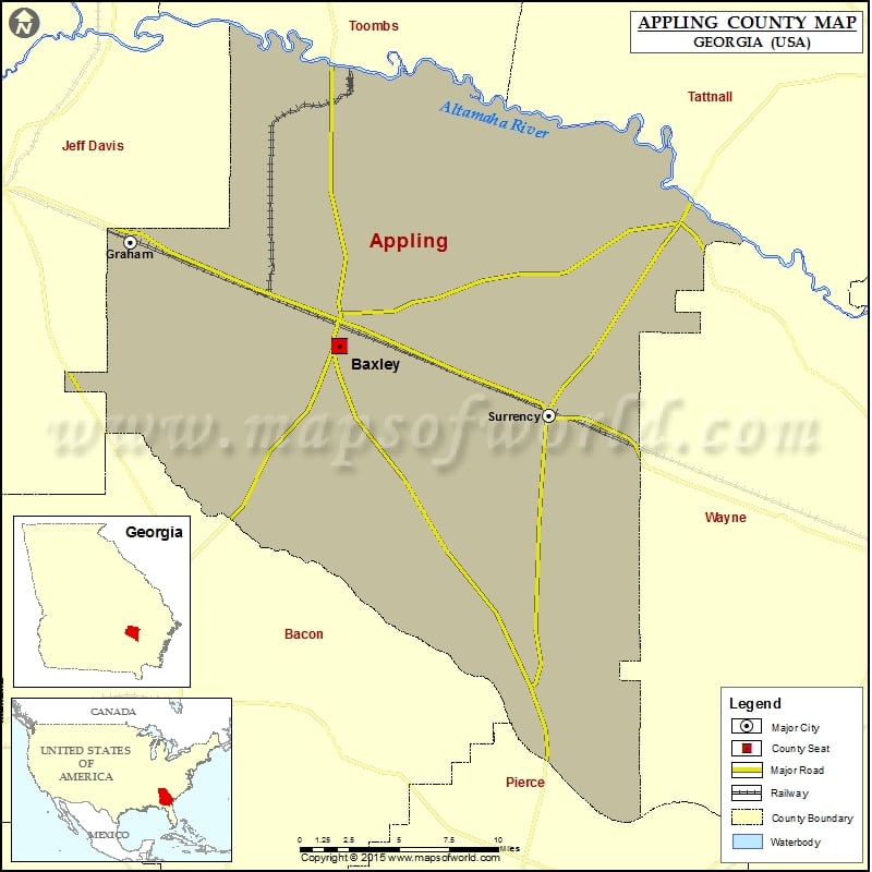
Check this Georgia County Map to locate all the state’s counties in Georgia Map.
Airports in Appling County
| Airport Name |
|---|
| Appling General Hospital Heliport |
| Baxley Municipal Airport |
Cities in Appling County
| City | Population | Latitude | Longitude |
|---|---|---|---|
| Baxley city | 4400 | 31.764801 | -82.350998 |
| Graham city | 291 | 31.829156 | -82.502965 |
| Surrency town | 201 | 31.721579 | -82.198732 |
Golf Courses in Appling County
| Name of Golf Course | Latitude | Longitude |
|---|---|---|
| Appling Country Club-Baxley | 31.720973 | -82.377394 |
 Wall Maps