1.1K
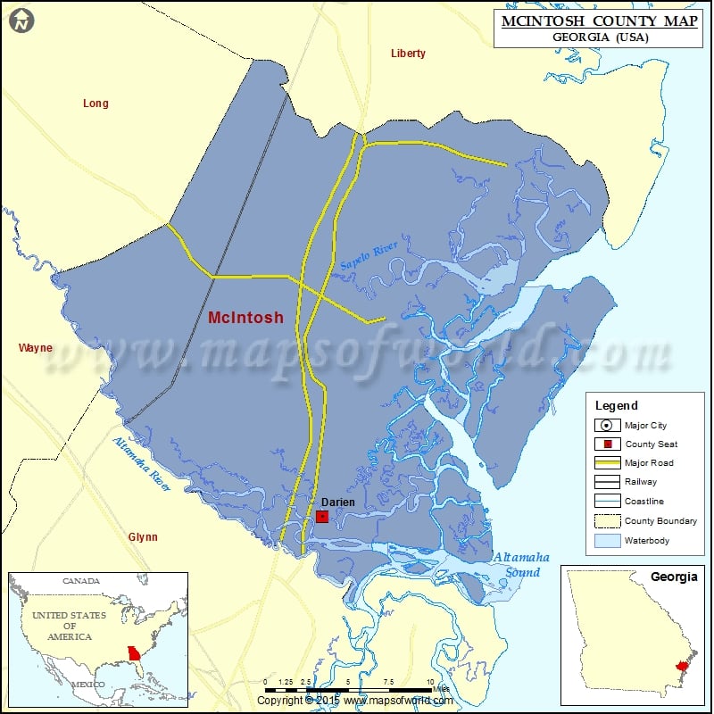
Check this Georgia County Map to locate all the state’s counties in Georgia Map.
Mountain Peaks in McIntosh County
| Mountain Peak/Hill | Elevation [Meter] |
|---|---|
| Oyster Shell | 2 |
| Pilcher Hill | 19 |
More Maps of McIntosh County
Airports in McIntosh County
| Airport Name |
|---|
| Barbour Island Airport |
| Eagle Neck Airport |
| Eden Field |
| Patterson Island Airport |
| Sapelo Island Airport |
| Townsend Air Strip |
Cities in McIntosh County
| City | Population | Latitude | Longitude |
|---|---|---|---|
| Darien city | 1975 | 31.356782 | -81.431435 |
Golf Courses in McIntosh County
| Name of Golf Course | Latitude | Longitude |
|---|---|---|
| Sapelo Hammock Golf Course-Townsend | 31.56465 | -81.325803 |
 Wall Maps