9.1K
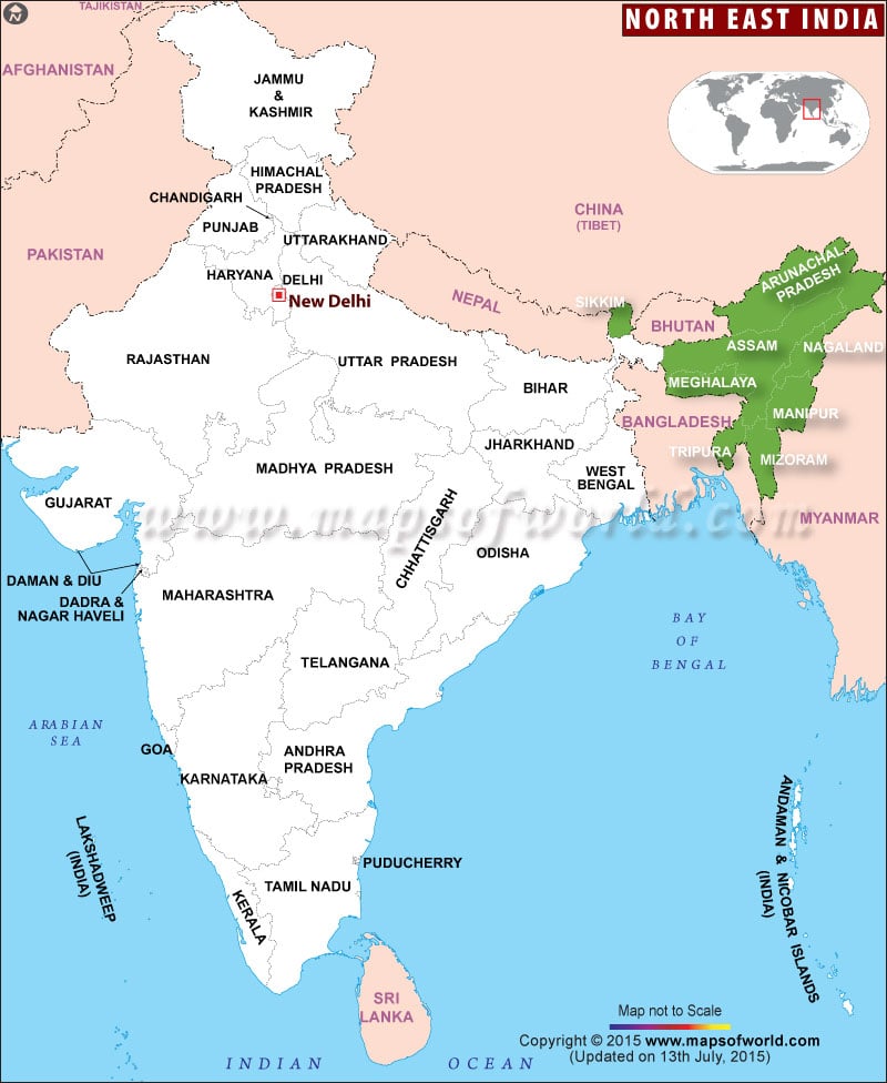
North East India Map gives the details about the northeastern region states of India which is the largest international boundary. North Eastern part of India includes the north Indian states (seven sisters) Sikkim, Meghalaya, Assam, Arunachal Pradesh, Nagaland, Manipur, Mizoram, and Tripura.
The Seven Sisters States is a popular term for these seven states next to each other prior to the inclusion of the state of Sikkim into the North Eastern Region of India.
