1K
Check this Georgia County Map to locate all the state’s counties in Georgia Map.
Airports in Tattnall County
| Airport Name |
|---|
| Swinton Smith Field at Reidsville Municipal Airport |
| Tootle Airport |
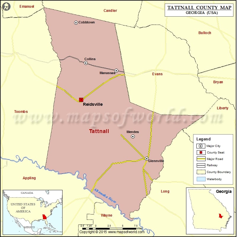
Cities in Tattnall County
| City | Population | Latitude | Longitude |
|---|---|---|---|
| Cobbtown city | 351 | 32.280607 | -82.138757 |
| Collins city | 584 | 32.179361 | -82.110294 |
| Glennville city | 3569 | 31.939479 | -81.930342 |
| Manassas city | 94 | 32.160349 | -82.019953 |
| Mendes | 122 | 31.995339 | -81.970938 |
| Reidsville city | 4944 | 32.087055 | -82.12441 |
Golf Courses in Tattnall County
| Name of Golf Course | Latitude | Longitude |
|---|---|---|
| Brazell’s Creek Golf Course-Reidsville | 32.08257 | -82.135809 |
 Wall Maps