1.3K
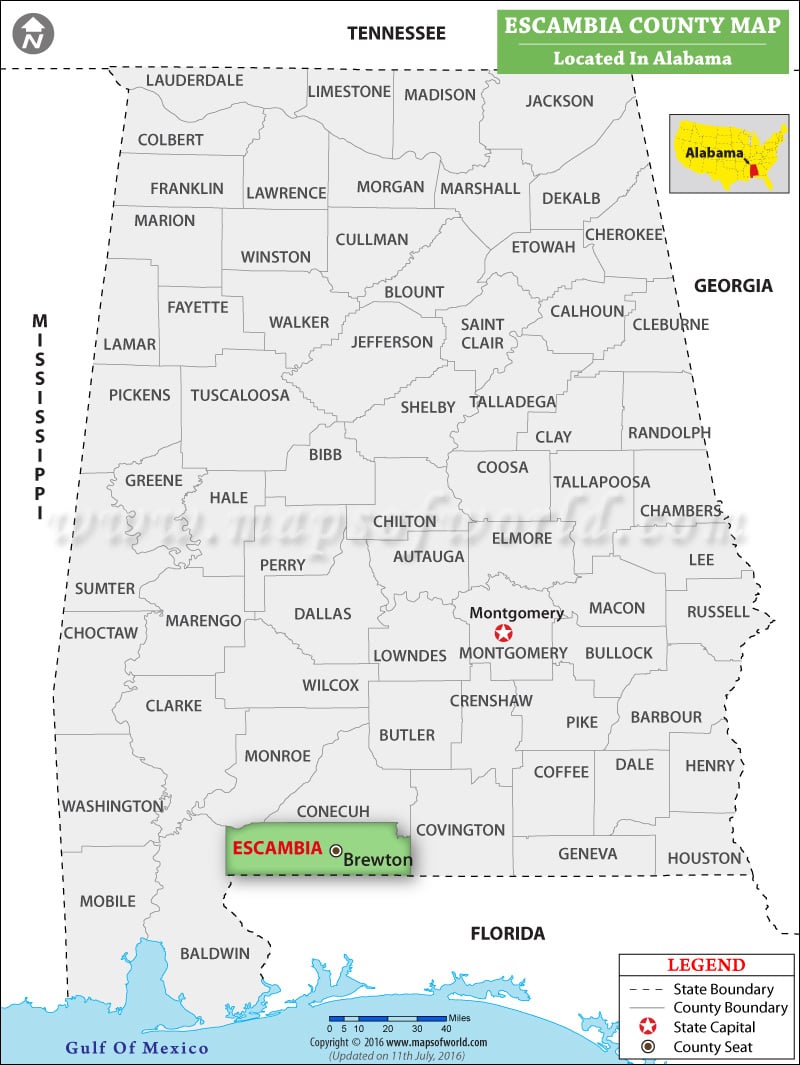
You can also create a a personalized map of Escambia County, simply click the ‘Customize’ button above the map. It will redirect you to our digital store where you can create a customize map of Escambia County as per your needs or liking. Also, explore our comprehensive Alabama County Map to discover more about the state’s counties.
Facts about Escambia County
| County | Escambia |
| State | Alabama |
| Country | USA |
| Population – 2021 | 36,600 |
More Maps of Escambia County
 Wall Maps