806
Check this Georgia County Map to locate all the state’s counties in Georgia Map.
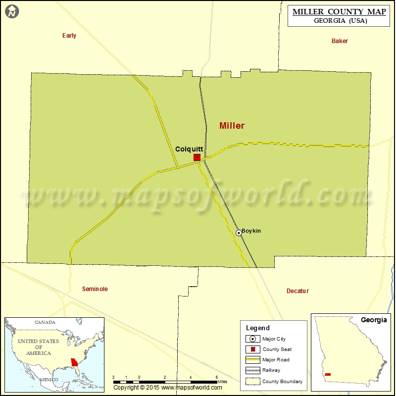
Cities in Miller County
| City | Population | Latitude | Longitude |
|---|---|---|---|
| Boykin | 143 | 31.101713 | -84.684814 |
| Colquitt city | 1992 | 31.174133 | -84.731873 |
Golf Courses in Miller County
| Name of Golf Course | Latitude | Longitude |
|---|---|---|
| Crooked Oak Golf Club-Colquitt | 31.163585 | -84.720852 |
| Donalsonville Golf &Country Club-Donalsonville | 31.085048 | -84.912215 |
 Wall Maps