1.1K
Check this Georgia County Map to locate all the state’s counties in Georgia Map.
Airports in Jeff Davis County
| Airport Name |
|---|
| Hazlehurst Airport |
More Maps of Jeff Davis County
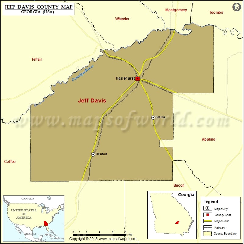
Cities in Jeff Davis County
| City | Population | Latitude | Longitude |
|---|---|---|---|
| Denton city | 250 | 31.722137 | -82.69676 |
| Hazlehurst city | 4226 | 31.865094 | -82.599414 |
| Satilla | 421 | 31.792108 | -82.56404 |
Golf Courses in Jeff Davis County
| Name of Golf Course | Latitude | Longitude |
|---|---|---|
| Twisted Pine Golf Course-Hazlehurst | 31.886044 | -82.587711 |
 Wall Maps