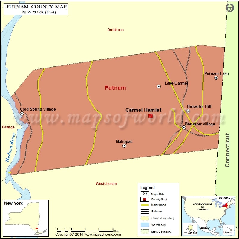
Facts about Putnam County Map, NY |
County Name | Putnam County |
Founded | 1812 |
Area | 246 sq mi (637 km2) |
Land Area | 230 sq mi (596 km2) |
Water Area | 16 sq mi (41 km2), 6.5% |
Density | 433/sq mi (167/km²) |
Population | 99,710 (2010) |
Largest Town | Carmel |
County Seat | Carmel |
Time zone | Eastern: UTC-5/-4 |
Website | www.putnamcountyny.com |
Map of Cities in New York | ||
---|---|---|
Buffalo city Map | Rochester Map | Yonkers Map |
Syracuse Map | Albany city Map | New Rochelle Map |
Cheektowaga Map | Mount Vernon Map | Schenectady Map |
Utica Map | Brentwood Map | Tonawanda Map |
Last Updated : January 07, 2017