1.1K
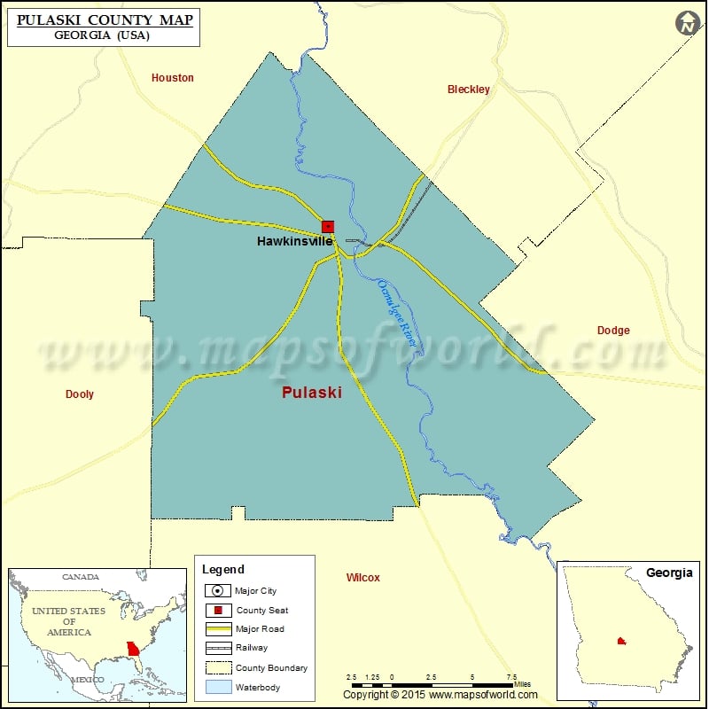
Check this Georgia County Map to locate all the state’s counties in Georgia Map.
Airports in Pulaski County
| Airport Name |
|---|
| Red Beard Dusting Service Airport |
Cities in Pulaski County
| City | Population | Latitude | Longitude |
|---|---|---|---|
| Hawkinsville city | 4589 | 32.295806 | -83.481864 |
Golf Courses in Pulaski County
| Name of Golf Course | Latitude | Longitude |
|---|---|---|
| Southern Hills Golf Club-Hawkinsville | 32.326085 | -83.517019 |
 Wall Maps