842
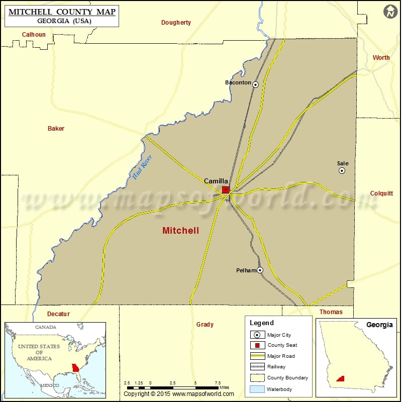
Check this Georgia County Map to locate all the state’s counties in Georgia Map.
Airports in Mitchell County
| Airport Name |
|---|
| Camilla Mitchell County Airport |
More Maps of Mitchell County
Cities in Mitchell County
| City | Population | Latitude | Longitude |
|---|---|---|---|
| Baconton city | 915 | 31.38038 | -84.159184 |
| Camilla city | 5360 | 31.235877 | -84.207134 |
| Pelham city | 3898 | 31.126639 | -84.151459 |
| Sale City | 380 | 31.262558 | -84.021377 |
Golf Courses in Mitchell County
| Name of Golf Course | Latitude | Longitude |
|---|---|---|
| Pinecrest Country Club-Pelham | 31.184317 | -84.158923 |
 Wall Maps