1.2K
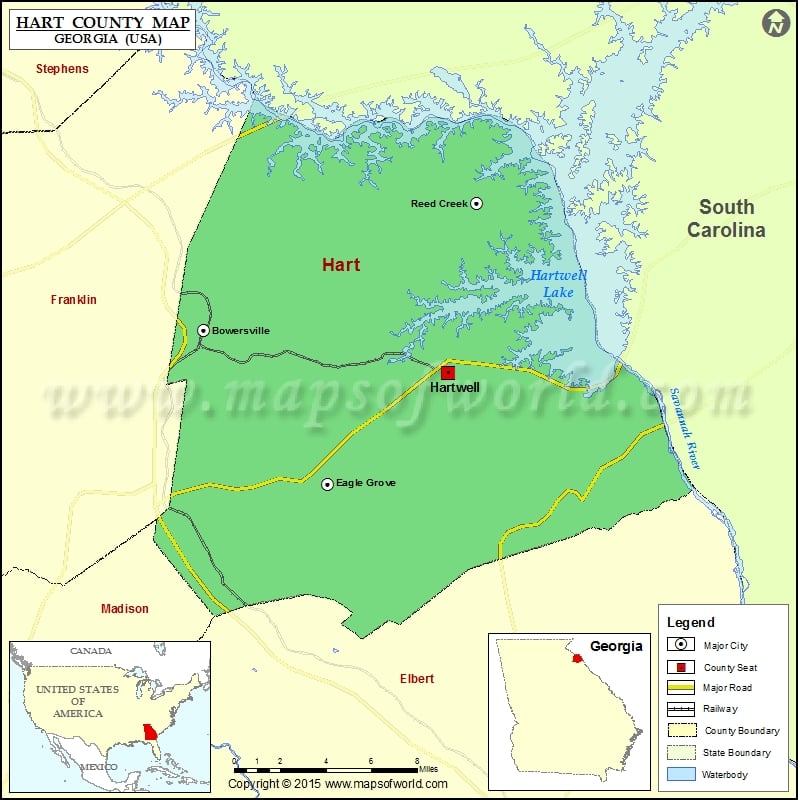
Check this Georgia County Map to locate all the state’s counties in Georgia Map.
Airports in Hart County
| Airport Name |
|---|
| Airnautique, Inc. Airport |
| Mustang Field |
Cities in Hart County
| City | Population | Latitude | Longitude |
|---|---|---|---|
| Bowersville town | 465 | 34.372692 | -83.083138 |
| Eagle Grove | 164 | 34.291837 | -83.004339 |
| Hartwell city | 4469 | 34.350191 | -82.928794 |
| Reed Creek | 2604 | 34.439387 | -82.910018 |
Golf Courses in Hart County
| Name of Golf Course | Latitude | Longitude |
|---|---|---|
| Cateechee Golf Club-Hartwell | 34.322496 | -82.913518 |
| Hartwell Golf Club Inc-Hartwell | 34.330391 | -82.948769 |
 Wall Maps