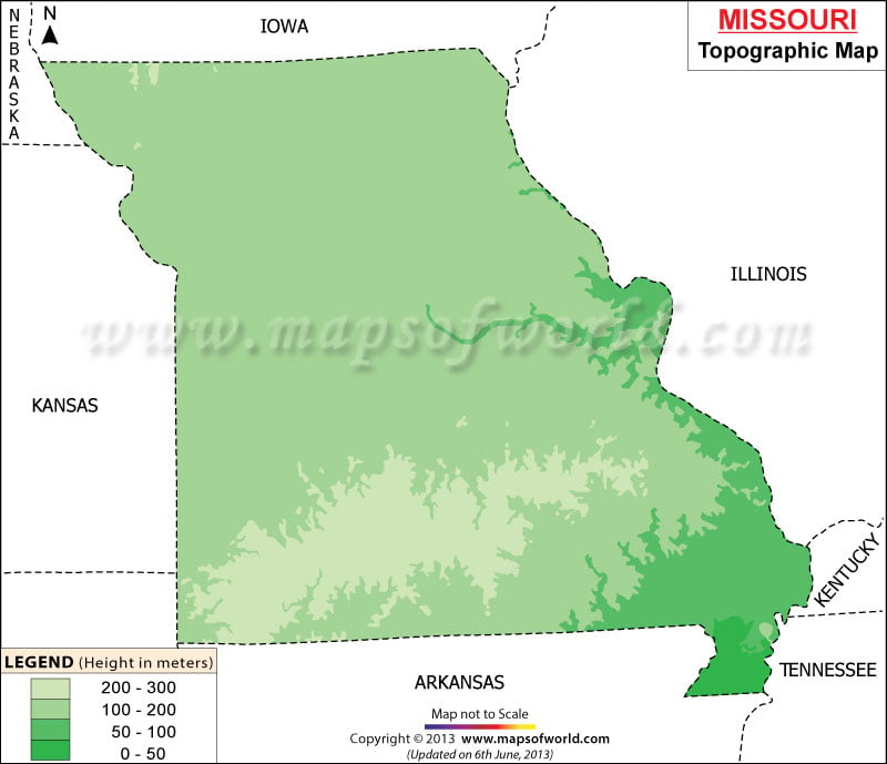
The Ozark Plateau consists of the Taum Sauk Mountain which is the highest point of the state with a height of 1772 ft.
Also, the Ozark covers a large portion of the southern side of Missouri. Dissected Till Plains of Missouri is another interesting topographic characteristics which occupies southern part of Northern Plains. The Osage Plains are situated on the south of Northern Plains and are an integral part of the Central Lowland of Missouri.
The Mississippi Alluvial Plain which is located on the southeastern front of Missouri is yet another trait of the state’s topography and was made up of the black and highly fertile lowlands of Mississippi river. Zinc, lead and coal deposits that date back to some 250 million years and 50 million years old caverns and caves are also the important components of the Missouri topography. Prime rivers like Osage, Current, White, St. Francis and Mississippi also forms the topography of the state. The Missouri state map is also an useful guide which provides details regarding the topography of the place.
