
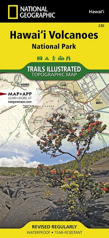
Encompassing Mauna Loa, the largest volcano on Earth, and Kīlauea, our most active volcano, this Big Island park offers graphic proof that the forces that have shaped our planet for billions of years remain active, and immensely powerful, today.
Buy for $14.95
The capacity of volcanism to transform the landscape was on display in 2018, when Kīlauea underwent a series of lava eruptions and earthquakes that closed the park. The aftermath was significant: The park’s Jaggar Museum closed, roads were damaged, and several popular trails and scenic areas became inaccessible. New lava flows covered more than 13 square miles and wiped out entire neighborhoods in nearby towns. Where lava met the seacoast, solidified flows added more than 800 acres of land to the island of Hawaii.
Most of the park has reopened for visitors to explore its diversity, ranging in elevation from rocky beaches at sea level to the harsh environment at the 13,677-foot summit of Mauna Loa. These extremes comprise seven ecological life zones —seacoast, lowland, mid-elevation woodland, rainforest, upland forest and woodland, subalpine, and alpine/aeolian—which are home to some of the world’s rarest plants and animals. The park also protects sites of special cultural importance to native Hawaiian people.
How to Visit
Visitors who drive to Hawai‘i Volcanoes should be aware that parking is very limited; lots can be full between mid-morning and midafternoon. Arrive early to make a stop at the Kīlauea Visitor Center, just inside the park entrance. Getting current information and talking to rangers, good ideas at any park, are particularly helpful here, where conditions can change quickly.
For a brief visit, take in Crater Rim Drive and Chain of Craters Road, stopping at overlooks and other points of interest. With more time, hike one or more of the shorter trails, such as the 1.2-mile round-trip Ha‘akulamanu (Sulphur Banks) Trail or the 1.4-mile round-trip route to the Pu‘u Loa petroglyphs. More strenuous day hikes can take four hours or more. Be sure to take plenty of water; none is available along trails.
For a more comprehensive exploration of the park, consider a drive at least part way up the Mauna Loa Road, which provides access to the lush forest at the Kipukapuaulu Trail, among other attractions.
Hiking and camping in the areas around Mauna Loa’s summit require serious preparation and knowledge of the risks of high elevations.
Farther afield, the Kahuku Unit, about an hour south of the Kīlauea Visitor Center, features several day-hiking trails and regular ranger-led walks and programs.
Useful Information
How to get there
From Hilo, take Hawaii 11 southwest about 30 miles; the park entrance is just past the town of Volcano. From KailuaKona, take Hawaii 11 south about 95 miles.
When to go
The park is open year-round; Kahuku Unit is closed Mondays and Tuesdays. In general, more rain falls in winter (Nov. through March), but climate within the park varies greatly from high elevation to low. Layering clothing and preparing for changeable weather are recommended. Summer and the winter holidays are typically the busiest seasons.
Visitor Centers
The Kīlauea Visitor Center is just inside the park entrance, off Hawaii 11.
Headquarters
1 Crater Rim Drive Hawai‘i National Park, HI 96718 nps.gov/havo 808-985-6101
Camping
Located north of Hawaii 11 about 3 miles west of the park entrance, Nāmakanipaio Campground (16 sites) is operated by a concessioner (hawaii volcanohouse.com, 866-536-7972). The area has restrooms, water, picnic tables, and barbecue pits. There are also 10 rustic camper cabins available. Kulanaokuaiki Campground (9 sites), located 5 miles down the Hilina Pali Road, has picnic tables but no water.
Lodging
Concessioner-operated Volcano House, with 33 rooms, a lounge, and a snack bar, is adjacent to the Kīlauea Visitor Center (hawaiivolcanohouse.com, 866-536-7972). Many inns and lodges are available in the nearby town of Volcano. For information visit gohawaii .com/islands/hawaii-big-island.
US National Parks Map
About the Guide

