
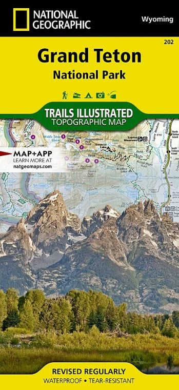
This national park is named for a single mountain, the Grand Teton, 13,770 feet high and the central summit of the Teton Range. It forms, with its immediate neighbors to the south, a sort of alpine triumvirate, the Three Tetons. These mountains and others in the range were called Pilot Knobs by fur trappers some 200 years ago because they could be seen from miles away, in all directions. Other notable peaks include Teewinot, an elegantly descriptive Shoshone term that means “many pinnacles.”
Buy for $14.95
Beyond spectacular scenery, the Tetons possess everything a mountain landscape should have. Abundant wildlife includes moose, elk, bison, deer, antelope, bighorn sheep, grizzly and black bears, beavers, otters, eagles, and osprey. Vegetation varies with altitude. Sagebrush and cottonwoods thrive on the valley floor. Spruce, pine, and aspen trees climb the mountain slopes. Alpine meadows strewn with wildflowers like spilled treasure occupy the heights and waterfalls, glacial lakes, a dozen glaciers, and numerous mountain creeks complete the scene.
How to Visit
If you have one day, drive the Teton Park Road. Start with the visitor center at Moose, then drive north to the newly refurbished Jenny Lake area, stopping for short walks and to pause at scenic viewpoints. Make a loop of it by continuing to Jackson Lake and returning to Moose via Moran Junction. On a second day, hike to one of the morainal lakes— Bradley, Taggart, Leigh, or Phelps. For longer hikes, consider the canyons— Cascade, Death, Granite, and others. Float the Snake River, or rent a canoe at Colter Bay and explore the islands in Jackson Lake.
Wherever you go, it is imperative to respect wildlife viewing distance rules: Stay at least 100 yards away from bears and wolves, and at least 25 yards from all other wildlife. In addition, carry bear spray, have it accessible, and know how to use it.
Useful Information
How to get there
From Jackson, drive north on U.S. 89/26/191 to the main visitor center and entrance station at Moose. From Yellowstone, U.S. 89/287 enters the park via John D. Rockefeller, Jr. Memorial Pkwy. Jackson Hole Airport is in the park.
When to go
July and Aug. see peak visitation. Wildflowers are abundant. Afternoon thunderstorms keep things fresh. Roads are plowed usually by early May, with snow lingering into June. Sept. and Oct. bring lots of sun, frosty nights, and good wildlife viewing. Winter is as beautiful as it is challenging. Snow falls deep and temperatures drop into the sub-zero range. It’s the time for cross-country skiing and snowshoeing. Most of Teton Park Road and Moose-Wilson Road close for the winter season.
Visitor Centers
There are five visitor centers: Craig Thomas Discovery and Visitor Center, at Moose, open daily spring through fall (check with park for dates); Jenny Lake, mid-May to late Sept.; Colter Bay, mid-May through Sept.; Laurance Rockefeller Preserve, June to late Sept.; Flagg Ranch, June through Aug.
Headquarters
P.O. Box 170 Moose, WY 83012 nps.gov/grte 307-739-3300
Camping
The park has five campgrounds, all run by concessionaires; most open early to mid-May and close early to mid-Oct. Backcountry camping is also an option; permits are required (recreation.gov).
Lodging
Grand Teton’s excellent website offers details on the variety of park accommodations (nps.gov/grte/planyourvisit/ lodging.htm). Many other lodging options exist in and around Jackson (jacksonholechamber.com; 307-733-3316).
US National Parks Map
About the Guide
