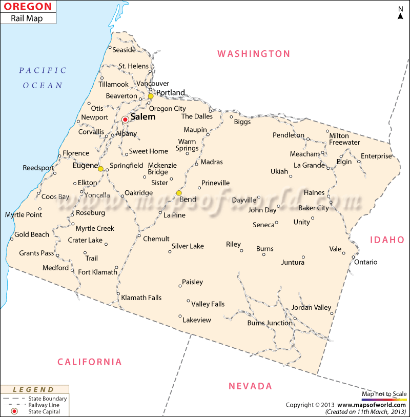
Oregon Railway Map indicates the wide-reaching network of rail routes that links the various cities, counties and towns of the state. The Oregon state map also highlights the railway tracks of the place. Idaho, Fort Klamath, Woodburn, Baker City, Chemut, Oakridge, Meacham, Cottage Grove and many others are well-connected with the railway lines of Oregon state.
The railway map of Oregon clearly indicates the places which are intersected by the extensive network of railways. Amtrak is known as one of the prime railroad companies which offers regular trains to various portions of Oregon. Burlington Northern/Santa Fe and Union Pacific are the two main railway service providers of Oregon.
The Amtrak-Empire Builder and Amtrak-Coast Starlight are the two rail systems that provide trains to Oregon apart from many others states of United States.
The Train & Railway Museum of Oregon provides detailed insight into the earliest history of rail and its gradual evolution in the state. As per an official estimate, the state of Oregon has 4245 km of railway tracks within its geographical premises. Tourists who are traveling through the trains of Oregon can get important details about the same from the railway map of the state.
 Wall Maps