How is the Weather in Oregon?
The state of Oregon (in the Pacific Northwest) is one of the three states of the US that lies along the Pacific Coast. Over the past few years, the state has been recording higher temperatures and growing warmer. In fact, in August 2017, the state of Oregon experienced a blistering heat wave.
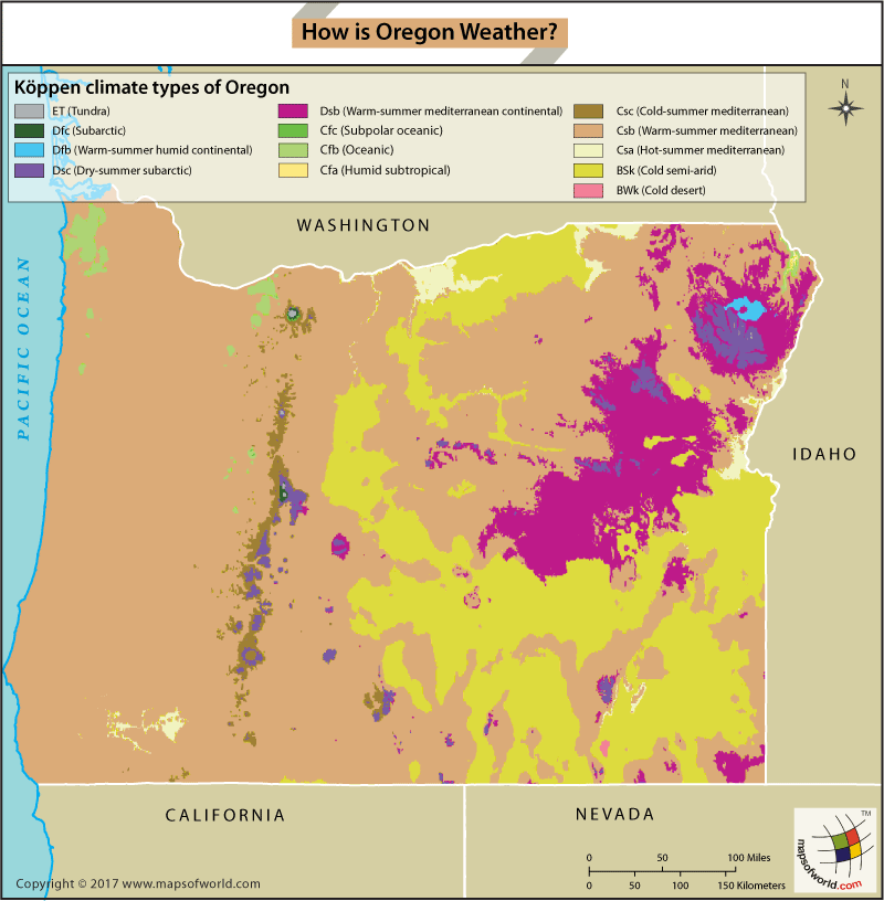
The proximity to the Pacific Ocean generally keeps western Oregon mild throughout the year. A sharp difference in elevation and topography, creates much variation in temperatures across the state. While the coastal region could be warm, the Cascades to the east may be wet and rainy. The weather in the Willamette Valley may be humid, while the deserts in central Oregon are much drier.
In general, March through May (the Spring months) are cool and clear with a high possibility of rainfall. June through August (Summer) can be quite warm, and chances of rain can be very low. Winter lasts from November through February. While southern Oregon is often ‘warmer’ (similar to northern California weather) the proximity of the northern counties to the Arctic weather region causes occasional snowfall in these parts, and annually in the mountains. Winters are usually cloudy with frequent downpours.
Related Maps:
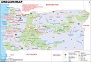
Oregon Map
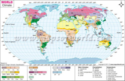
World Climate Map
US Map