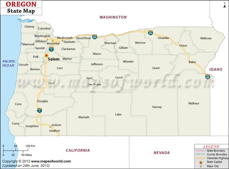
About Oregon
Referred as the ‘Beaver State’, Oregon is the ninth largest state in the US by area. The Willamette Valley is the state’s most densely populated area; it is home to eight of the ten most populous cities. The state capital is Salem while Portland is the largest city in the state.
From windswept Pacific coastline in the west to semi-arid shrublands in the east, Oregon is famous for diverse landscape, pleasant weather, and abundant wildlife. At 3,429 meters above sea level, Mount Hood is the highest point in the state.
Popular Tourist Attractions in Oregon
- Crater Lake National Park
- Columbia River Gorge
- Lewis and Clark National and State Historical Parks
- Cannon Beach
- Lan Su Chinese Garden
- Pittock Mansion
- Evergreen Aviation & Space Museum
Getting In and Around
The Portland International Airport (PDX) is the main international gateway to the state.
The Coast Starlight, Cascades, and Empire Builder passenger trains of Amtrak serve the state.
Interstate Highways I-84 and I-5 along with U.S. Highways traverse Oregon.
 Wall Maps