- New Mexico Counties - New Mexico County Map, Map of New Mexico Counties
- Major Cities of New Mexico - Santa Fe
- Neighbouring States - Colorado, Oklahoma, Texas, Arizona
- Regional Maps - Map of USA
- Other New Mexico Maps - New Mexico Map, New Mexico Physical Map, New Mexico Airport Map, New Mexico Lat Long Map, New Mexico Zip Code Map, New Mexico Area Code Map, New Mexico National Parks Map
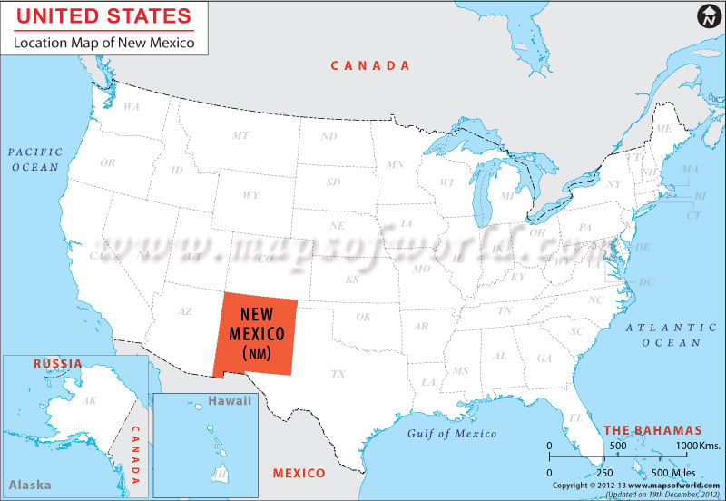
New Mexico shares a border with Texas and Oklahoma to the east, and Arizona borders the state to the west. Colorado borders New Mexico to the north and Texas and Chihuahua, Mexico, border the state to the south.
The New Mexico Map clearly defines the geographical location of the state. The state of New Mexico is situated within the coordinates 34.0° N, 106.0° W in the southwestern part of the United States.
New Mexico shares its northern border with Colorado, the southern border with Texas and the Mexican State of Chihuahua, the eastern border with Oklahoma and Texas, and western border with Arizona. New Mexico has a total area of 121,593 square miles. The total land area of the state is 121,335 square miles. The total inland water area of New Mexico is 258 square miles. Santa Fe is the capital city of New Mexico. Albuquerque is the largest city of the state.
Facts About New Mexico |
|---|
| State Name | New Mexico |
|---|---|
| Continent | North America |
| Country | United States (USA) |
| Capital | Santa Fe |
| Largest city | Albuquerque |
| Area | 121,589 sq mi (315,194 km2) |
| Population | 2,085,572 (2014 est) |
| Lat Long | 34° 0′ 0″ N, 106° 0′ 0″ W |
| Official Language | Spanish but isn’t recognized |
| Calling Code | 00 1 505 X (Albuquerque), 00 1 505 X (Santa Fe) |
| Time Zone | Mountain: UTC −7/−6 |
| Airport | 8- Airports (Commercial Service) |
| Neighbour State | Texas, Arizona, Colorado, Utah, Oklahoma |
| Internet TLD | NA |
| Currency | United States Dollar (USD) |
 Wall Maps