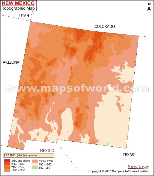
Wheeler Peak with a height of 13, 161 ft is the highest point of New Mexico. Whereas Red Bluff situated 859 m above the sea surface is the lowest point of the state. While the Southern Rocky Mountains houses north-central portion of New Mexico, Colorado Plateau covers the north-western front of the state. The western part of Great Plains is another prime trait of the state topography which include two-fifth part of the eastern New Mexico. Among the prime mountains of the state, Sacramento, San Mateo, Chuska, Guadalupe, Southern Rockies and San Andres are worth mentioning. The 60 km long connecting corridors and chambers of the Carlsbad caverns are yet another interesting topographic feature of New Mexico. The rivers of the state are an integral part of its topography.
Playing an important role in developing the irrigation scenario of the state the major New Mexico rivers include Rio Grande, Pecos, Gila, Canadian and San Juan.
Two largest inland waterbodies – Conchas Reservoir and Elephant Butte Reservoir – also form a part of the New Mexico topography.
