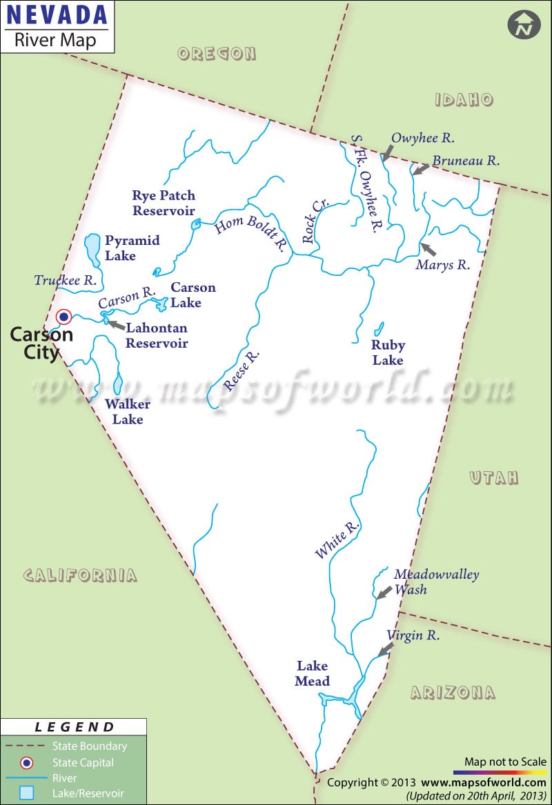
The Nevada State Map clearly indicates the exact location of the various rivers, lakes, and streams of the state.
The Humboldt River, Colorado River, and Truckee River are the major rivers of the state. The Humboldt River flows across the northern part of the State and is the biggest river in Nevada. The Truckee, Carson, and Walker Rivers flow through the western region of Nevada. At 146 meters (479 feet), the Canyon River is the lowest point in the state of Nevada, which falls under the drainage system of the Great Basin. Other prominent rivers that flow through Nevada include Quinn, Owyhee, Marys, S. Fk. Owyhee, Bruneau, Reese, White, Virgin and Muddy rivers. Nevada has many large saline marshes that are commonly referred to as “sinks.” The Humboldt River flows into the Humboldt Sink.
Several lakes flow through the Nevada including some of the most important lakes like Lake Mead, Pyramid Lake, Lake Tahoe, and Lake Mojave. Pyramid Lake is the biggest lake of the state. Located in the western part of Nevada, Lake Pyramid covers total area of 487 square kilometers.
 Wall Maps