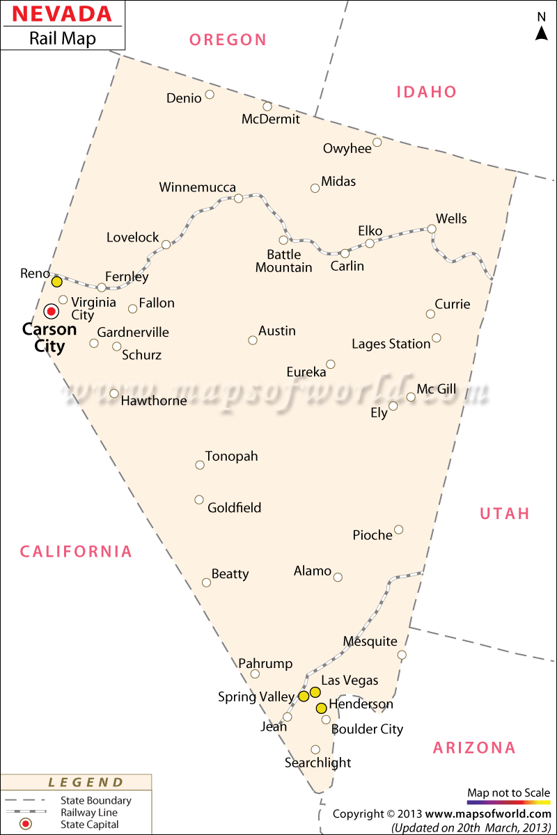
The Nevada Railway Map indicates the wide-reaching network of railways which link Nevada’s various cities and towns. According to a 2000 estimate, the state of Nevada possesses a total of 1,916 miles of railroads. Carson City, the state’s capital, is well-connected through a developed network of railways. One of the prime railway service providers is Amtrak, which offers trains mostly to the northern Nevada locations.
The Northern Railroad of Nevada was established in the 20th century specifically to connect to the city of Ely, where huge coal mines were located. Today, it is one of the state’s most important links. Other equally significant railroads of Nevada are as follows:
- Eureka and Palisade railroad
- Central Pacific, which passes through counties of Lander, Pershing, Eureka, Washoe, Elko, and Humboldt
- Bullfrog Goldfield Railroad, which intersects Nye and Esmeralda counties
- Western Pacific, which passes through Humboldt, Elko, Pershing, Washoe and Lander counties
- Oregon Short Line, which passes through Elko county
- Tonopah and Tidewater Railroad, which intersects Nye county
The Railway Map of Nevada proves to be a facilitating tool for all those tourists who wish to explore the splendors of the state through train services.
 Wall Maps