
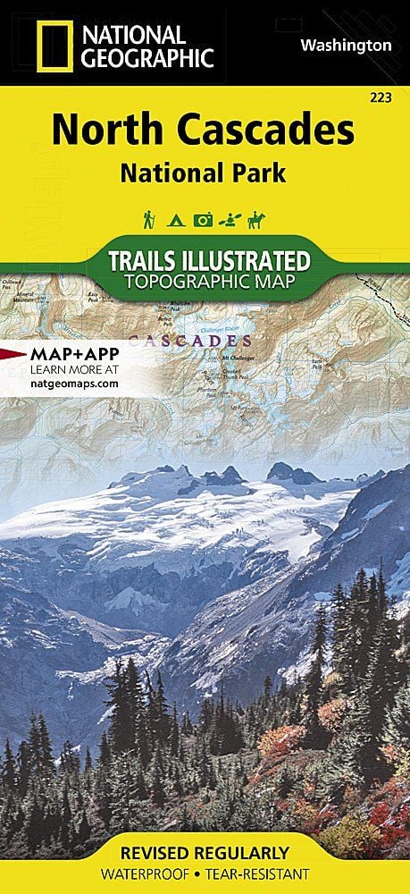
This is not simply a park—it’s a sprawling wilderness complex that encompasses the national park as well as the Ross Lake National Recreation Area and the Lake Chelan National Recreation Area. These three units add up to some of the most rugged and remote wilderness in the United States, with more than 300 glaciers.
Buy for $14.95
The mood of the early explorers who traveled these mountains is evident in the names they gave: Mount Terror, Mount Despair, Mount Fury, Desolation Peak, Mount Challenger, and Damnation Peak, among others.
North Cascades is more than rocks and ice, however. The park complex holds one of the last intact ecosystems in the country. Nearly all the species that lived here when Europeans first reached North America, from grizzly bears to tiny butterflies, can still be found here.
Wild runs of chinook (king) and sockeye salmon fill the rivers during spawning season, which brings out bald eagles and ospreys, as well as otters. Mountain lions and wolves hunt the complex’s black-tailed deer and mountain goats, while wolverines stalk whatever comes their way.
The sheer ruggedness of the park complex makes it challenging to experience. Wash. 20, the North Cascades Highway, is the only paved road leading in, following an east-west corridor of the Ross Lake National Recreation Area, alongside the Skagit River.
This corridor separates the North and South Units of the park, with the Lake Chelan National Recreation Area at the southern tip of the South Unit. The dusty Cascade River Road provides access to hikers and climbers, while a boat service carries visitors to the north shore of 50-mile-long Lake Chelan.
But while roads are scarce, trails abound. More than 350 miles of hiking and horse trails ramble through the park complex, including the northern end of the 2,600-mile Pacific Crest Trail running from Mexico to Canada along the spine of the Sierra Nevada and Cascade Range.
How to Visit
Those with limited time should focus on the North Cascades Highway, which offers the most scenic crossCascades drive in Washington. The road enters the Ross Lake National Recreation Area just past the small town of Marblemount. As the road climbs higher, the Skagit River becomes more robust, tumbling through the rocky gorge below Diablo Dam, which generates power for Seattle. Should you have more time, head to Chelan Lake, just beyond the park boundary. In the town of Chelan you can access the small, historic community of Stehekin via trail, boat, or floatplane (car isn’t an option).
Useful Information
How to get there
From Seattle (116 miles southwest), travel via I–5, and U.S. 20—the North Cascades Highway. To access the park’s South Unit from Marblemount, drive east on the Cascade River Road; get to the North Unit via Wash. 542—the Mount Baker Highway—out of Bellingham. Ferries and floatplanes leave the town of Chelan for Stehekin, in the park.
When to go
Park roads close in winter. The Lady of the Lake ferry runs year-round to Stehekin, which offers snowshoe and cross-country skiing opportunities. Backcountry trails start to clear in May around the lower valley and lakes, but snow lingers into July along the higher elevations.
Visitor Centers
The Visitor Information Center at Sedro-Woolley is open year round. Others, generally open May through Oct., are North Cascades Visitor Center, Newhalem; Wilderness Information Center, Marblemount; Golden West Visitor Center, Stehekin.
Headquarters
810 State Route 20 Sedro Woolley, WA 98284 nps.gov/noca 360-854-7200
Camping
The park has five car campgrounds, open May–Sept. (recreation.gov; 877-444-6777). Lake Chelan NRA’s primitive campgrounds are hike-in (permit needed; 509-699-2080, ext. 14) or boat-in (federal dock permit required). 353 sites total.
Lodging
Ross Lake Resorts (accessible by boat or foot; rosslakeresort.com); North Cascades Lodge (stehekinlanding.com); Silver Bay Inn (silverbayinn.com); and Stehekin Valley Ranch (stehekin valleyranch.com). For lodging outside the park, check nps.gov/noca/planyour visit/local-chambers-of-commerce.htm.
US National Parks Map
About the Guide
