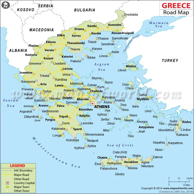
- Greece Cities - Alaxandroupolis, Corinth, Heraklion, Ioannina, Kalamata, Kavala, Patra, Sparta, Thessaloniki, Volos
- Greece Regions - Attica, Central Greece, Crete, East Macedonia and Thrace, Epirus, Ionian Islands, Macedonia Central, Mount Athos, North Aegean, Peloponnese, South Aegean, Thessaly, West Greece, West Macedonia
- Neighboring Countries - Albania, Macedonia, Turkiye, Bulgaria
- Continent And Regions - Europe Map
- Other Greece Maps - Greece Map, Where is Greece, Greece Blank Map, Greece Road Map, Greece Rail Map, Greece Political Map, Greece Flag
The rivers of ancient Greece were revered as deities since they provided the country with drinking water – a much coveted natural resource despite the country’s proximity to the seas. The fertile river basins yielded crops that were used for trade and food.
The landscapes of Greece were beautiful because of these rivers and the ancients believed that their Gods and Goddesses resided on earth because of their beauty.
Some Major Rivers Of Greece :
The Haliacmon, often referred to as Aliákmon or Aliákmonas is the longest river in Greece and runs a 200-mile course through the country. Rising in the Pindus Mountains on the Greco – Albanian border, the river flows southeast through the prefectures of Kastoria, Grevena, Kozani, Imathia, and Pieria before draining into the Thermaic Gulf. The river forms and feeds Lake Kastoria.
The Achelous is another major river that flows through Greece. The Achelous is also called the Thoas or the Thestios. With its origin in the ancient region of Acarnania, the river drains into the Ionian Sea after running a course of about 134 miles.
The 134-mile-long River Pineios originates in the Pindus Mountains and drains into the Aegean Sea near Syomio. The Pineios valley is a rich and fertile region and many important cities such as Larissa, Kalabaka and Trikala lie on the banks of the Pineios and its tributary, the Lithaios.
The Eurotas, also called the Evrotas, flows mainly through the Laconia prefecture and is one of the most important rivers of the Peloponnese. The Eurotas are fed by the springs in Laconia, Arcadia, and Pellana. The river runs about 51 miles through Greece and drains into the Laconian Gulf.
The Nestos rises in the Rila Mountains of Bulgaria and enters Greece. The Nestos is considered the natural boundary between Thrace and Greek Macedonia. In all the Nestos is about 142 miles long and empties its waters into the Aegean Sea near Thasos. The Dospat River forms its longest tributary.
The Struma River, also known as the Strymon, has its source in the Vitosha Mountain in Bulgaria. The Struma feeds Lake Kerkini in Greece. The river then flows through Greece into the Aegean Sea at the Strymonian Gulf in Serres prefecture.
A number of small rivers and tributaries criss-cross Greece to form the beautiful, fertile country. The River Map of Greece provides you with a detailed view of the major rivers flowing through the country.
