2.1K
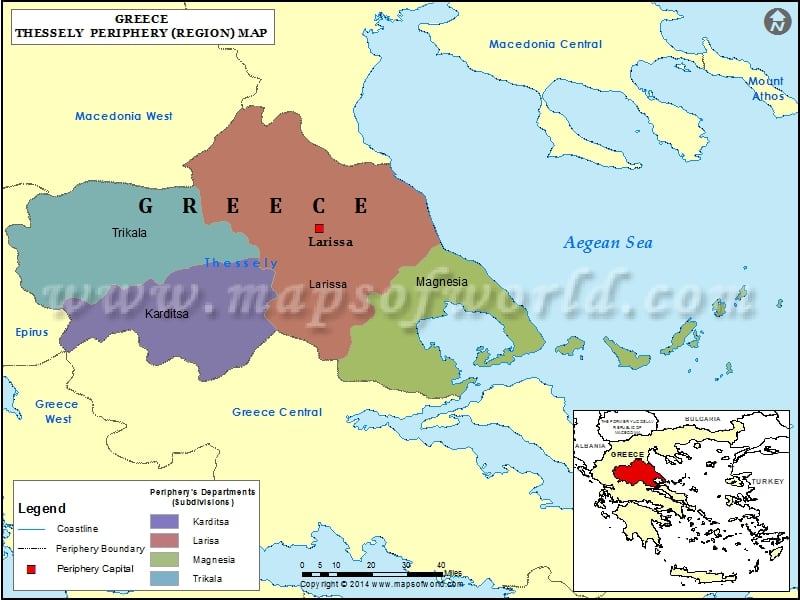
Municipalities of Thessaly |
||||
| Municipality | Region | Area(km.²) | Pop-2001 | |
|---|---|---|---|---|
| Aghia | Thessaly | 662 | 13120 | |
| Almyros | Thessaly | 905 | 20139 | |
| Alonissos | Thessaly | 130 | 2425 | |
| Argithea | Thessaly | 373 | 2488 | |
| Elassona | Thessaly | 1565 | 35358 | |
| Farkadona | Thessaly | 369 | 15133 | |
| Farsala | Thessaly | 740 | 23675 | |
| Kalabaka | Thessaly | 1658 | 22853 | |
| Karditsa | Thessaly | 647 | 57089 | |
| Kileler | Thessaly | 976 | 22719 | |
| Larissa | Thessaly | 336 | 145981 | |
| Limni Plastiras | Thessaly | 198 | 4022 | |
| Mouzaki | Thessaly | 314 | 16407 | |
| Notios Pilios | Thessaly | 369 | 10745 | |
| Palamas | Thessaly | 383 | 18500 | |
| Pyli | Thessaly | 749 | 15886 | |
| Rigas Feraios | Thessaly | 551 | 11830 | |
| Skiathos | Thessaly | 50 | 5788 | |
| Skopelos | Thessaly | 96 | 4706 | |
| Sofades | Thessaly | 721 | 21759 | |
| Tempes | Thessaly | 577 | 15439 | |
| Trikala | Thessaly | 608 | 78817 | |
| Tyrnavos | Thessaly | 525 | 25864 | |
| Volos | Thessaly | 386 | 142923 | |
| Zagora-Mouressio | Thessaly | 150 | 6449 | |
