2.6K
Know about Pennsylvania State
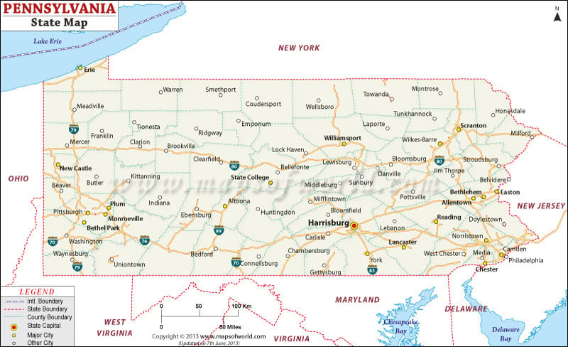
Pennsylvania encompasses a total area of 46,058 square miles. The total land area of Pennsylvania is 44,820 square miles and the total inland water area of the state is 1,239 square miles. Harrisburg is the capital city of Pennsylvania. The state is well connected by roads and railways. The Interstate Highways of 81, 79 and 83 join the northern and southern part of the state, while the important routes of the east-west corridor of Pennsylvania are the Interstate Highways of 70, 80, 76, 84 and 90.
 Wall Maps