5.7K
- New Jersey Counties - New Jersey County Map, Map of New Jersey Counties
- Major Cities of New Jersey -
- Neighbouring States - Delaware, Pennsylvania, New York
- Regional Maps - Map of USA
- Other New Jersey Maps - New Jersey Map, New Jersey Physical Map, New Jersey Airports Map, New Jersey Lat Long Map, New Jersey Zip Code Map, New Jersey Area Code Map, New Jersey National Parks Map
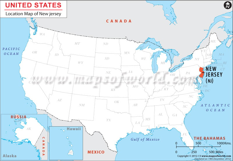
Surrounded by many states, New Jersey, which is at 40.0° N, 74.5° W coordinates has a boundary of 480.32 miles. The Atlantic Ocean shares the eastern border of New Jersey, while Pennsylvania surrounds the state on the west. New York borders it on the north and Delaware borders the south. Occupying a total area of 7,836 sq. miles, New Jersey stretches 57.17 miles in the east-west direction. The north-south extension of the state is 165.91 miles long.
Facts About New Jersey |
|---|
| State Name | New Jersey |
|---|---|
| Country Name | USA |
| Continent | North America |
| Capital | Trenton |
| Largest city | Newark |
| Area | 8,722.58 sq mi (22,591.38 km2) |
| Population | 8,938,175 (2014 est) |
| Lat Long | 40° 0′ 0″ N, 74° 30′ 0″ W |
| Official Language | None |
| Calling Code | +1 609 (Trenton), +1 973 (Newark) |
| Time Zone | Eastern: UTC -5/-4 |
| Airport | 5- Airports Scheduled Service |
| Neighbour State | Pennsylvania, Delaware, New York |
| Internet TLD | |
| Currency | United States Dollar (USD) |
 Wall Maps