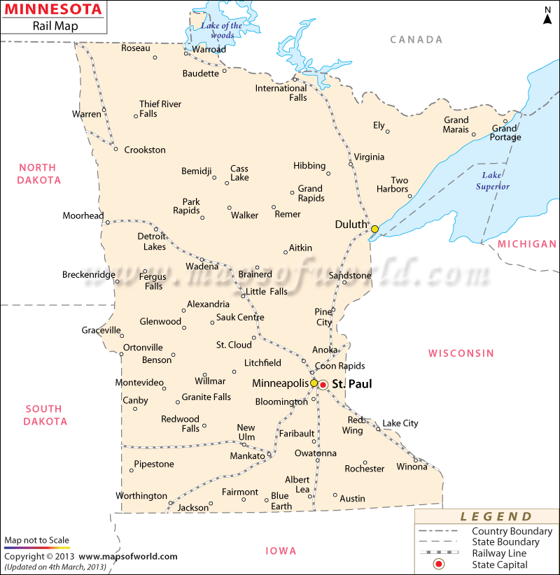
The 5,680 miles of railway tracks of Minnesota connect the near and far cities of the state. The Minnesota Rail Map highlights prime locations such as Minneapolis, Benson, Duluth, Winona, Mankato, St. Cloud, Moorhead, and St. Paul, all of which are served by an extensive network of trains. Amtrak is one of the main railway service providers and offers regular trains to many parts of the state. The Amtrak-Empire Builder is one such train which passes through Minnesota.
Minnesota is serviced by a number of railroad systems. The railways of Minnesota are categorized into class one, class two, class three, and excursion, railroads. Some of the class I railroad facilitators include Union Pacific Railroad, BNSF Railroad, Canadian National, and Canadian Pacific Rail.
The class II railroads of Minnesota are comprised of Wisconsin Central, Duluth, Missabe & Iron Range (DMIR), Iowa, Chicago & Eastern (ICE), Duluth, and Dakota, Minnesota & Eastern (DME). Red River Valley & Western, St. Croix Railroad, North Shore Scenic on SLLX, and Minnesota Prairie Line are all Class III railroad organizations. The mining, private, and excursion railroads of Minnesota include City of Duluth, North Shore Mining and Minnesota Zephyr Ltd.
 Wall Maps