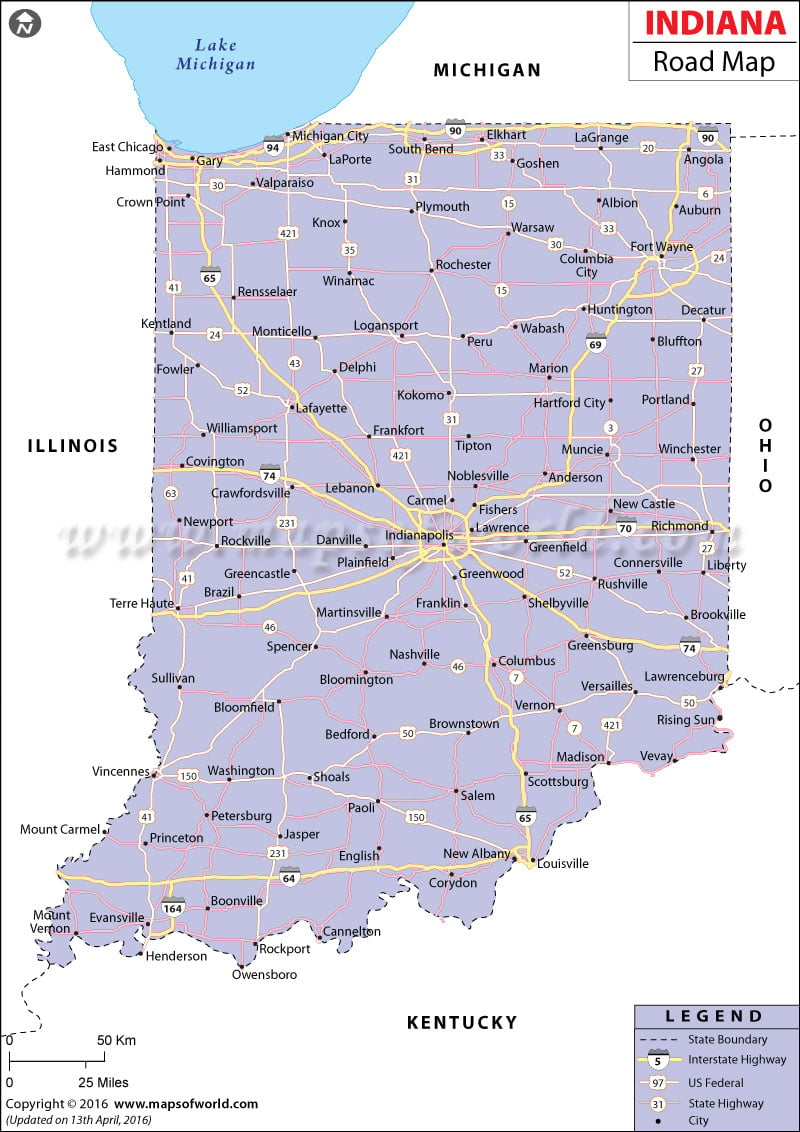
The Indiana Road Map highlights the state and national highways running through Indiana.
The northern part of the state is connected to southern Indiana by the Interstate Highways of 65 and 69. The Interstate Highways of 64, 74, 70, 94, 80, and 90 connect eastern and western Indiana. During the year of 2000, the state of Indiana had 93,607 miles of total public roads and 73,664 miles of rural roads. In 2001, there were 5,752,405 registered motor vehicles and 3,857,139 driver’s licenses. US 421, that joins the northern and southern parts of the state, was constructed during the late 1830s.
US 40, that connects eastern and western Indiana, was built in 1827. The Indiana Department of Transportation, also referred to as INDOT, helps to maintain old roads and builds new roads for easy transportation. The Toll Road District is in charge of the Indiana Toll Road Project. The Indiana State Map clearly marks the various cities and towns that are connected by the extensive roads of the state.
 Wall Maps