 Alamo Square Location Map
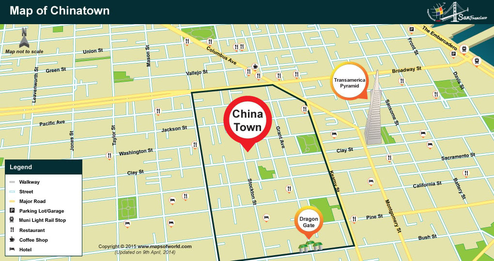 Location Map of Chinatown
 Location Map of Boudin Museum and Bakery
 Alcatraz Location Map
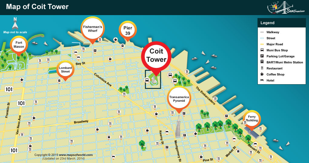 Coit Tower Location Map
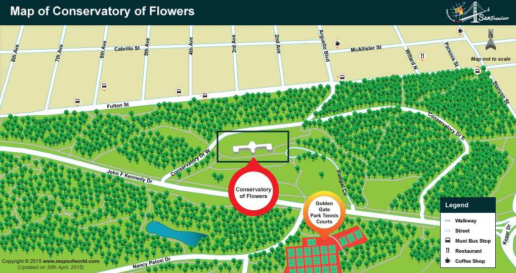 Location Map of Conservatory of Flowers
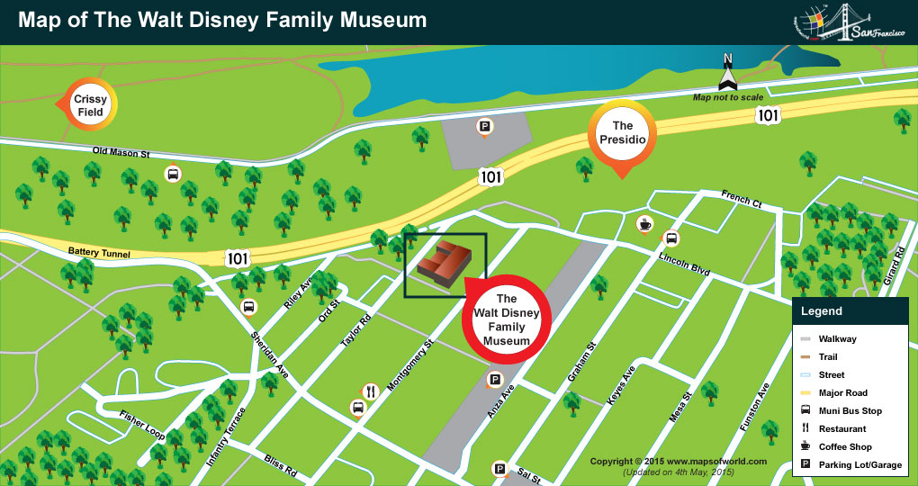 Location Map of Walt Disney Family Museum
 Location Map of Twin Peaks
Location Map of Vermont Street
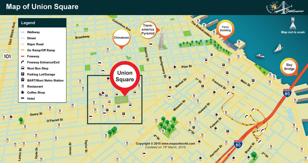 Location Map of Union Square
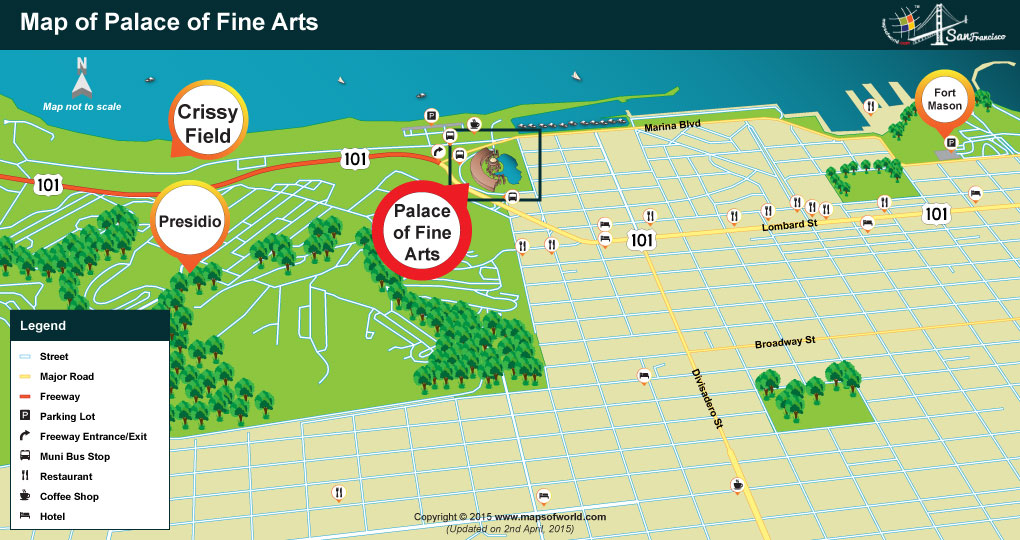 Palace of Fine Arts Location Map
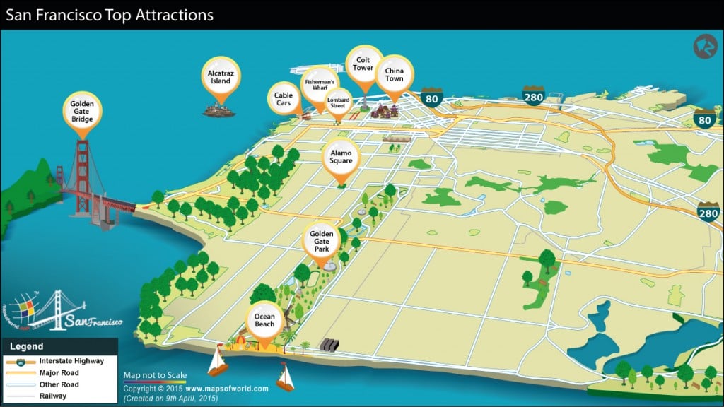 San Francisco Tourist Map
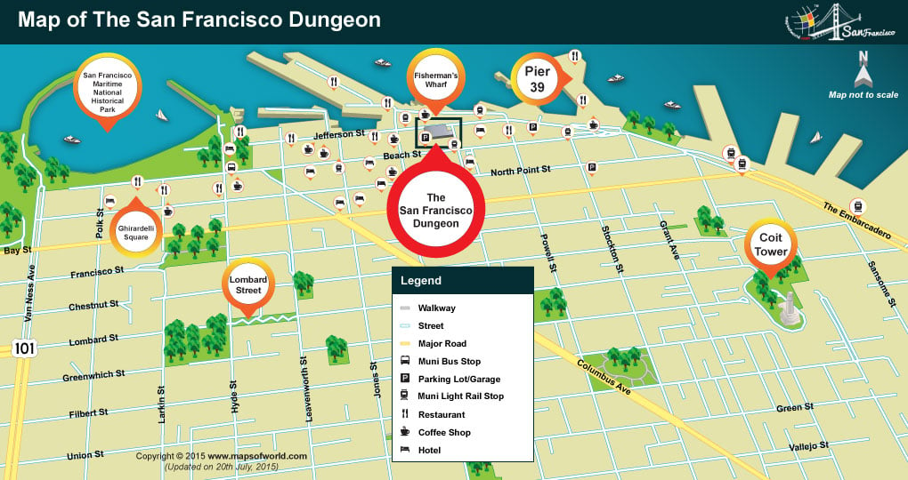 Location Map of San Francisco Dungeon
 Location Map of the Exploratorium
 Japantown Location Map
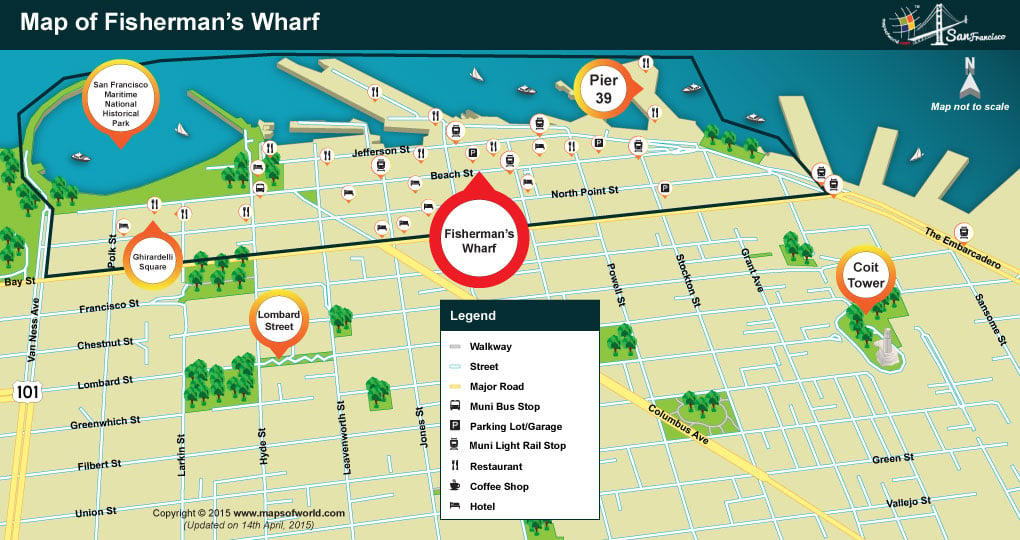 Fisherman’s Wharf Location Map
 Octagon House Location Map
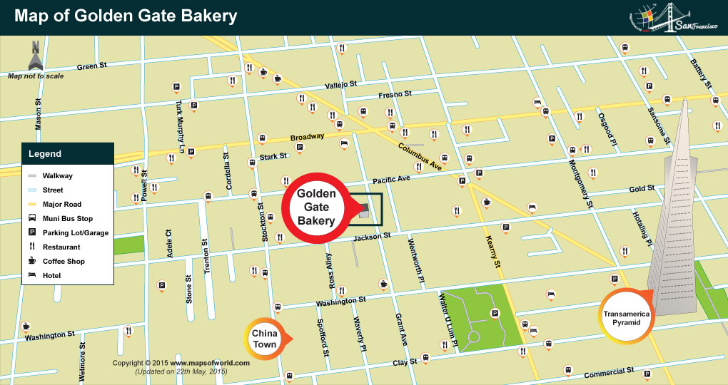 Location Map of Golden Gate Bakery
 Ocean Beach Location Map
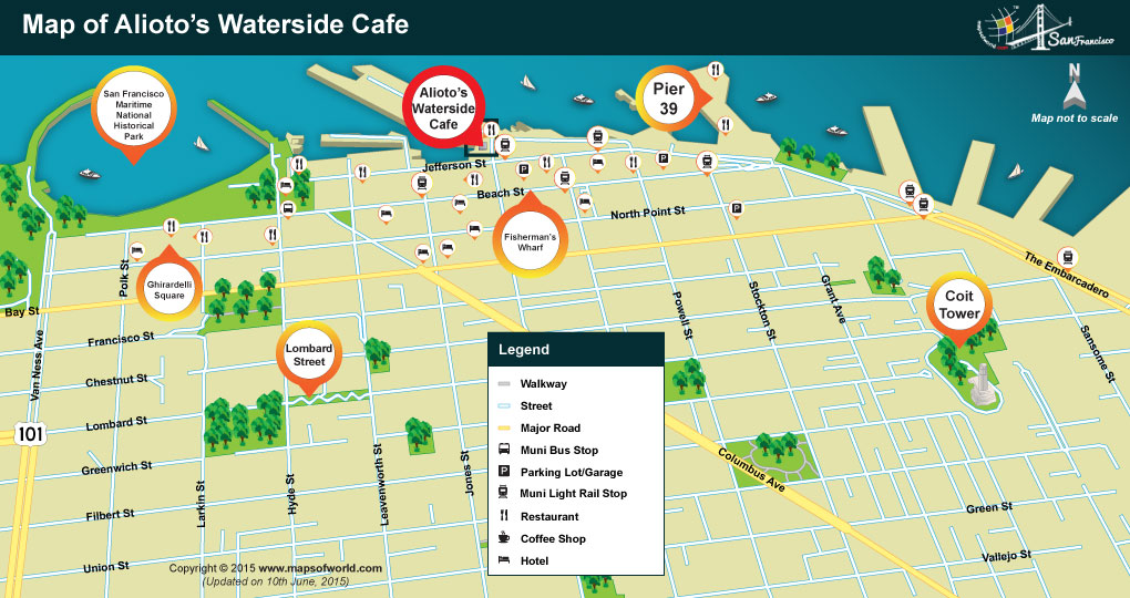 Location Map of Alioto’s Waterside Cafe Restaurant
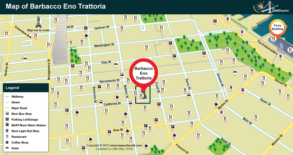 Location Map of Barbacco Eno Trattoria Restaurant
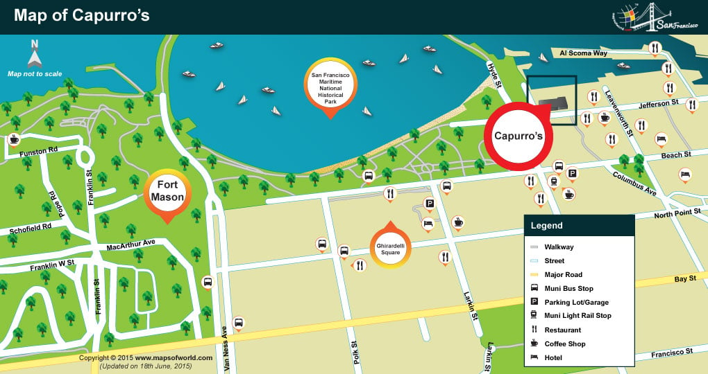 Location Map of Capurro’s Restaurant
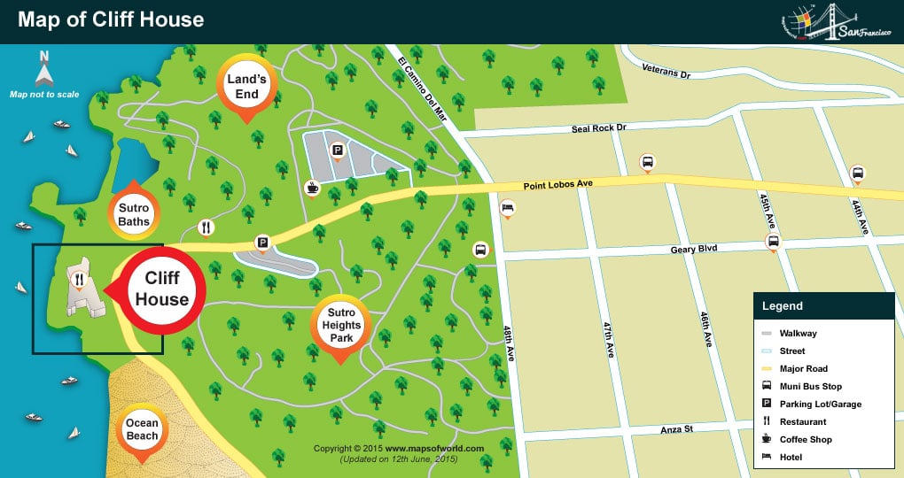 Location Map of Cliff House Bistro Restaurant
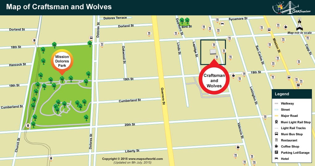 Location Map of Craftsman and Wolves Restaurant
 Location Map of Marlowe Restaurant
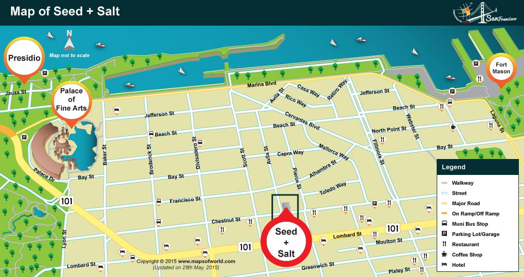 Location Map of Sea + Salt Restaurant
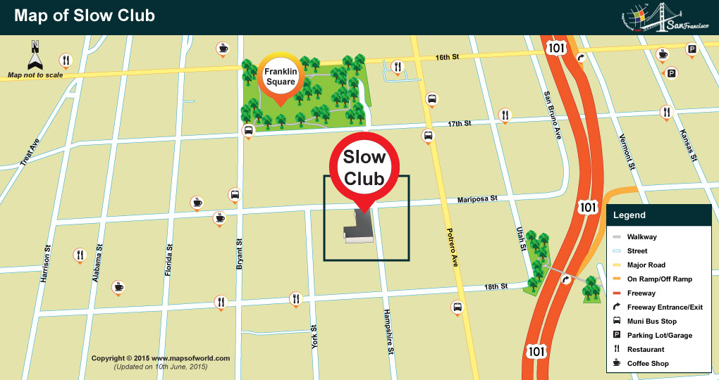 Location Map of Slow Club Restaurant
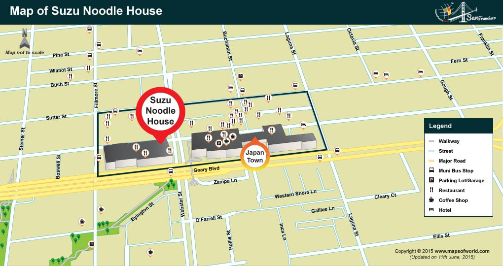 Location Map of Suzu Noodle House Restaurant