8K
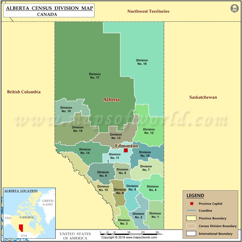
List of Census Divisions of Alberta |
|---|
| Division | Population | Area (sq miles) | Largest urban community | Specialized/rural municipalities |
|---|---|---|---|---|
| 1 | 82,627 | 7,938 | Medicine Hat | Cypress County County of Forty Mile No. 8 |
| 2 | 169,729 | 6,824 | Lethbridge | Lethbridge County County of Newell Municipal District of Taber County of Warner No. 5 |
| 3 | 38,956 | 5,362 | Claresholm | Cardston County Improvement District No. 4 Municipal District of Pincher Creek No. 9 Municipal District of Willow Creek No. 26 |
| 4 | 9,573 | 8,293 | Hanna | Acadia MD Special Area 2 Special Area 3 Special Area 4 |
| 5 | 55,708 | 6,485 | Strathmore | Kneehill County Starland County Vulcan County Wheatland County |
| 6 | 1,498,778 | 4,886 | Calgary | Foothills MD Mountain View County Rocky View County |
| 7 | 41,574 | 7,424 | Wainwright | Flagstaff County County of Paintearth No. 18 |
 Wall Maps